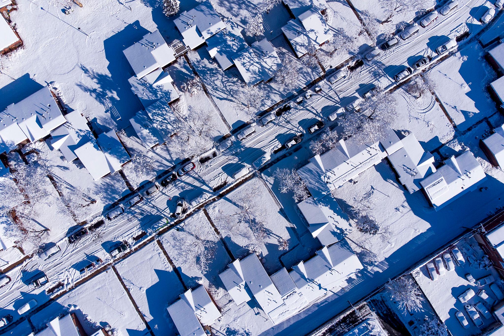
Following a couple days of very windy weather in the high country and along the Front Range, most of Colorado will see snow tomorrow.
Forecasters expect parts of the northern foothills and Front Range to get at least half a foot under frigid conditions.
The National Weather Service will have a winter storm watch in effect for areas around Fort Collins, Estes Park and just west of Boulder as well as Aspen and Vail. Meanwhile, other parts of the high country to the southwest have been placed under the more severe winter storm warning designation. And the eastern San Juan Mountains will be under a blizzard warning starting tonight.
Both the strong wind event to start the week and the large winter storm behind it are connected, meteorologist Chad Gimmestad with the NWS office in Boulder said. They represent the two sides of one temperature gradient.
“Right now, we’re on the warm and windy side, and then that’s going to slide eastward and we’ll wind up on the cold side,” Gimmestad said. “It’s all part of this larger scale pattern of the way the warm and the cold air is moving across, in waves, around the earth.”
Gimmestad said the bulk of Wednesday’s winter storm will be felt across Wyoming and the Dakotas, with its southern fringe extending down into Colorado. Southeastern areas of Colorado will see less snow as the front moves across the state into Thursday.
On Wednesday, much of the central mountains and northern Front Range will see highs in the teens and 20s. Then some very cold nights will follow, with lows in the single digits Wednesday night. Some areas around Denver, Boulder and Fort Collins could even drop below zero degrees.
Thursday night lows could be in the singles digits too. Temperatures on the Front Range are then expected to gradually warm up into the 40s and 50s by the weekend, while higher elevations could see a bit more snow to end the week.
A series of big winter storms over the past few weeks has been very helpful for snowpack totals in the high country, with some locations on track to set new records.