Updated at 11:55 a.m. on March 13, 2024
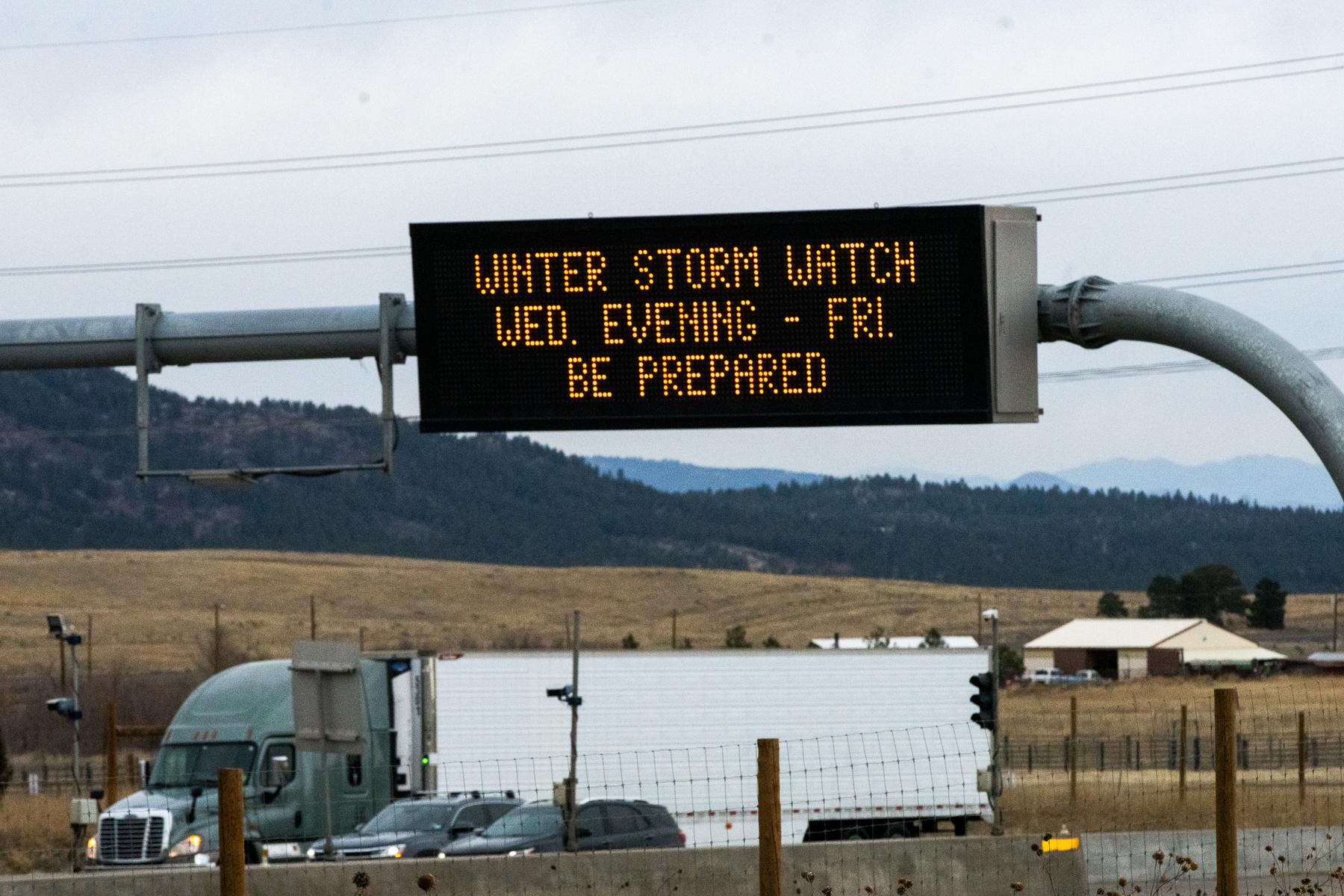
A late-winter storm moving into Colorado this afternoon is expected to start dumping what could total more than a foot of snow across the Denver metro and the heavily populated Interstate 25 corridor.
The storm will likely start as rain before turning to snow and is expected to continue Thursday and taper off by Friday. Forecasters with the National Weather Service in Boulder say the storm system is supercharged with warm air and moisture from the Pacific Ocean, a combination they warn could mean intense, moisture-laden snow that’s heavy enough to snap tree branches, down power lines and make travel across the region nearly impossible.
Forecasters have issued a winter storm warning for much of the state and expect 8 to 20 inches of snow across much of the Denver metro but say accumulations could climb above 4 feet in the Front Range mountains and regions in the foothills — and possibly higher in some local areas.
“We think the bulk of those heavy, heavy snow accumulations will definitely be on this side of the Front Range, on this [east] side of the Continental Divide,” said NWS meteorologist David Barjenbruch. “As you head over from the Eisenhower Tunnel, down into Silverthorne even, there's going to be a dramatic drop off in the snow amounts there. So we expect this to be what we call a ‘Front Range storm.’”
Authorities say fresh, heavy snowfall could fuel dangerous avalanches in mountain areas. An avalanche watch is in effect for the southern Sawatch Mountains through Friday. The most dangerous conditions are expected on Thursday near Monarch Pass, which has a high risk of avalanches at and above treeline, according to the Colorado Avalanche Information Center.
Communities at higher elevations in Southern Colorado, particularly near Pueblo and Colorado Springs, could see up to a foot of snow on Thursday. However, the urban areas are only expected to receive between 2 to 6 inches of snow.
The weather service is less certain about possible snow totals for northern and eastern Colorado, including Fort Collins, Greeley and the Eastern Plains, but forecasters say computer models suggest lighter snow amounts. Barjenbruch said several inches could fall in those areas, but temperatures may stay cold enough for it to stick.
Travel will be “difficult to impossible” come Thursday morning, especially in the foothills. Forecasters are warning people to stay indoors if possible.
“It's going to be one of those tricky ones where the snow depth may be too deep, even for some 4-wheel drives, in the foothills because we're talking 2 to as much as 4 feet of snow in a few spots up there,” Barjenbruch said.
Conditions are expected to improve Friday.