The storm system giving Jack Frost his last breath lost some power as it moved into Colorado Thursday night.
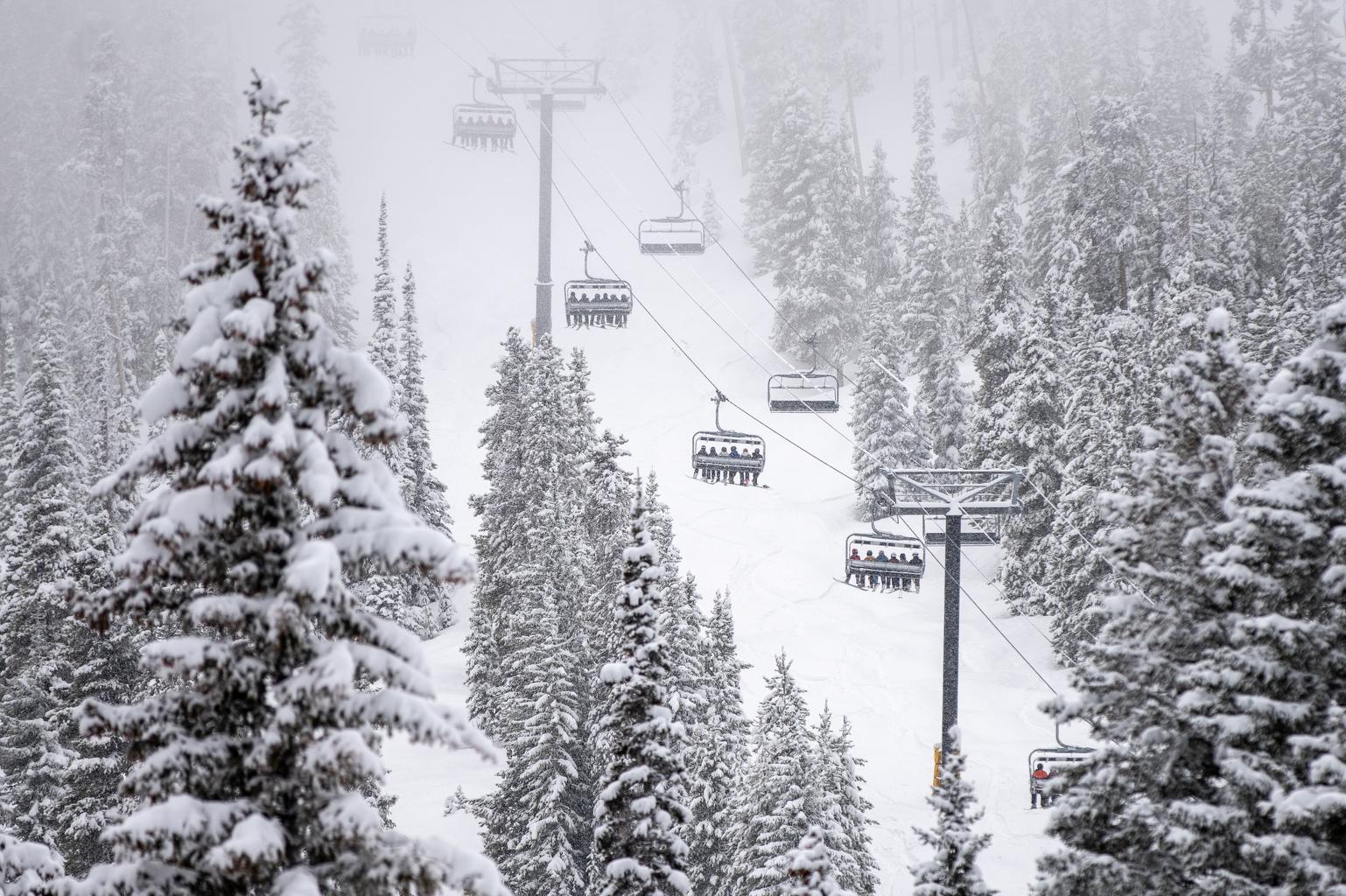
Snow will continue to fall across metro Denver, the high country, and the Palmer Divide through Friday night with just a further dusting Saturday morning.
The foothills and high country can expect slushy roads during the Friday evening commute, especially above 6,000 feet. Ice is likely on roads heading to and from ski resorts.
“We'll see most of our travel impacts when temperatures do drop a little bit further Friday night,” said National Weather Service meteorologist David Barjenbruch. “But the snow looks like it's going to end pretty much by Saturday morning. The brunt of this storm is going to be well southwest down into New Mexico now.”
Roads could be slick Saturday morning across metro Denver as temperatures drop into the 20s overnight.
Earlier predictions for snowfall had Boulder getting roughly 3inches of snow, metro Denver seeing about 2 inches and Vail as many as 6 inches.
“That much snow will definitely fall,” Barjenbruch said. “It's just a matter of how much will accumulate because the ground temperatures will be warm, so a fair amount of the snow that falls will melt, especially on the asphalt.”
Those attending Rockies opening day at Coors Field in downtown Denver Friday will want to bundle up.
“Our forecast high temperatures are right near 40 degrees, but almost all the day will be spent in the 30s with some light snow off and on through the game,” Barjenbruch said. “There will also be a brisk northeast wind.”
The Farmers Almanac has the last spring frost forecast for the Denver metro on May 4 this year, so gardeners may want to hold off getting plants in the ground until then.