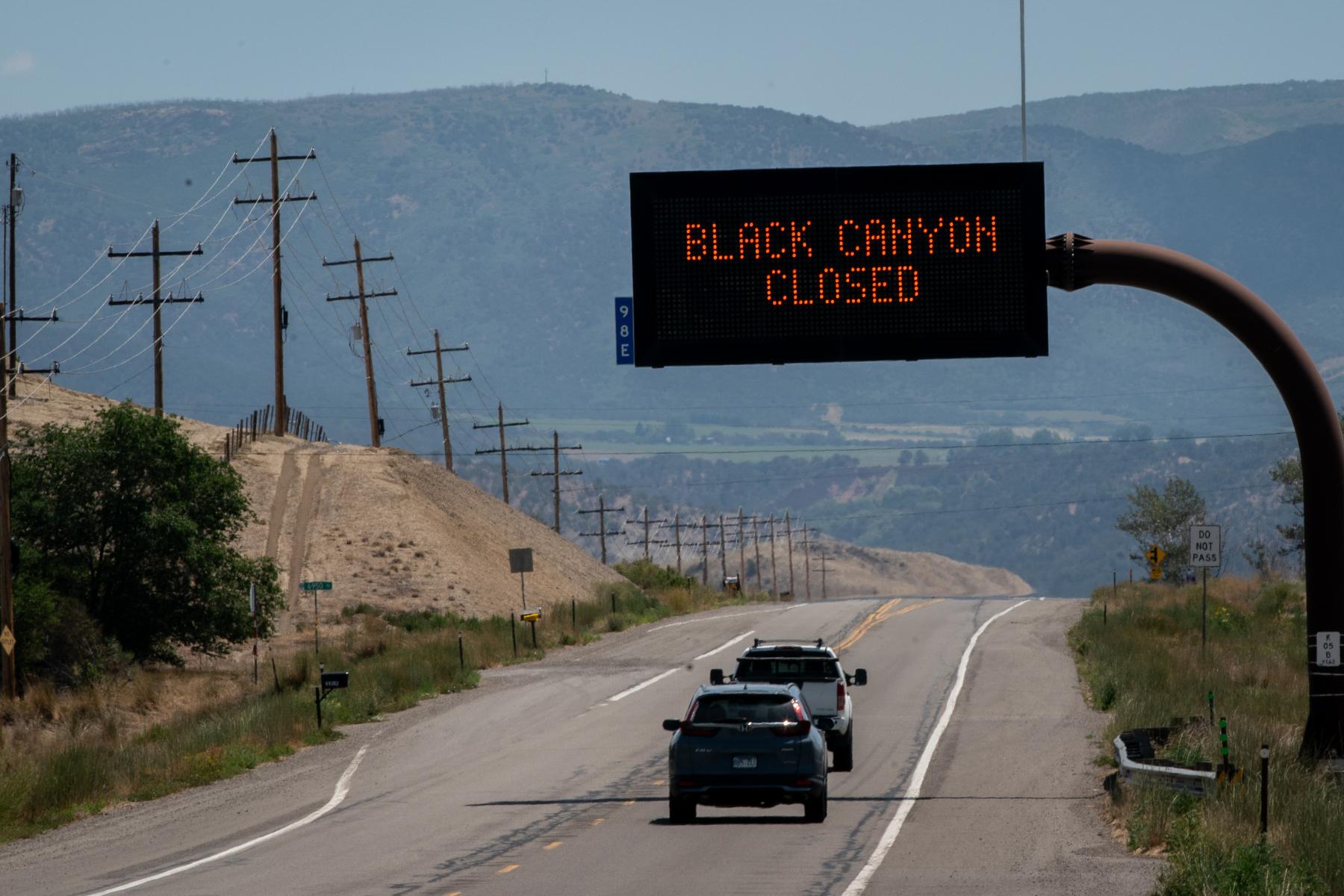
Dr. David Rosgen of Wildland Hydrology presented a regional study yesterday, looking at how water, sediment, and debris is predicted to flow along the Waldo Canyon burn scar. It's called a Watershed Assessment of River Stability and Sediment Supply, or WARSSS. During the presentation, Rosgen said it'll take the better part of a century for the landscape to return to normal levels.
"The increase in flow is going to last decades, maybe 70-80 years before we get back to pre-fire conditions, because of the ...nature of the soils, the precipitation whithin this area, it's hard to get the site back in terms of mature conifer tree cover. The point is, is the increase in flow is going to be with us. It's not going to change a lot. The flood peaks [are] a reality for the future. We can do the most by seeing how well the stream channels and the land system can accommodate the increase in flow."
The WARSSS study identified Camp Creek, Douglas Creek, Fountain Creek and West Monument Creek as the major watersheds impacted by the changed landscape. The study also looked at nearly 90 high-risk sub watersheds, where Colorado Springs officials say $7.2 million in federal Emergency Watershed Protection funds will help mitigation efforts on private property lands.
In today's Gazette, Bill Vogrin examines the use of sandbags to help minimize flooding damage, and how they're most effective when used at a neighborhood level.