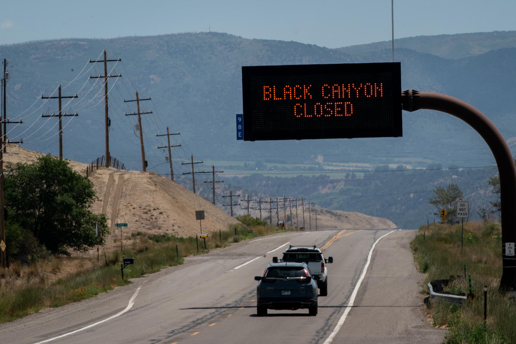
Colorado Springs, Manitou Springs, and El Paso County officials released a new preliminary flash flood risk analysis today for areas in and near the Waldo Canyon burn scar. The report models a specific rain event that has about a 10% chance of occurring in any given year. Patty Baxter with the El Paso County Office of Emergency Management emphasizes the maps represent only one example of what could happen.
"Rainstorms in this area can be much more or much less, and so this is just a snapshot in time of 1.75 inches of rain. It’s also based on the best modeling that we have available. Sometimes Mother Nature doesn’t like our modeling, but it’s the best we could do."
Areas of particular concern are Manitou Springs, Douglas Creek and Camp Creek. Officials stress the importance of having individual emergency plans, heeding weather alerts, and being prepared. The final, more detailed analysis exploring multiple precipitation levels is expected near the end of July. The Colorado Springs Office of Emergency Management is planning community meetings for those in the Douglas Creek area (see below for details).
Preliminary Maps:
(Please note, these .pdf maps may take some time to load.)
Manitou Springs
Camp Creek
North Douglas Creek
South Douglas Creek
Colorado Springs & West Colorado Avenue
Lower Ute Pass
Ute Pass: Cascade and Chipita Park
The Colorado Springs Office of Emergency Management also has an interactive map, which allows residents to plug in addresses or intersections for closer inspection.
Community Preparedness Meetings for Douglas Creek area residents and businesses:
• Residents: Tuesday, June 4; Front Range Alliance Church, 5210 Centennial Blvd. 6-8:30PM
• Businesses: Thursday, June 6; El Paso County Citizens Service Center, Room 1020, 1675 W. Garden of the Gods Road. 1-3 PM
Visit the main governmental sites dealing with this assessment:
Colorado Springs
El Paso County Sheriff