A federal scientist says the risk of flooding in northern Colorado is the highest it's been in years.
Klaus Wolter with the National Oceanic and Atmospheric Administration (NOAA) says an El Niño weather pattern is compounding the threat posed by a near-record mountain snowpack in the same area hit hardest by September's flooding.
Wolter says a month ago he wasn't convinced Colorado would see an El Niño pattern this spring, but now he is virtually certain it will. Wolter spoke today at a joint meeting of the state's flood and water task forces.
An El Niño usually brings more moisture than normal, and some of the worst flash flooding in the state has occurred during El Niño years, including 1997, 1976 and 1965.
"The stage is set for increased flood risk in the next six months," Wolter says. "So emergency managers need to be aware of this. That this is the highest risk we’ve been in in many years."
He adds that groundwater levels are so high that even a 1- or 2-inch rainfall could be enough to trigger flooding.
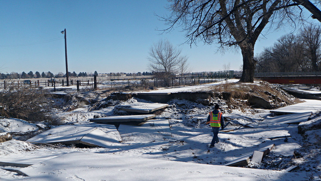
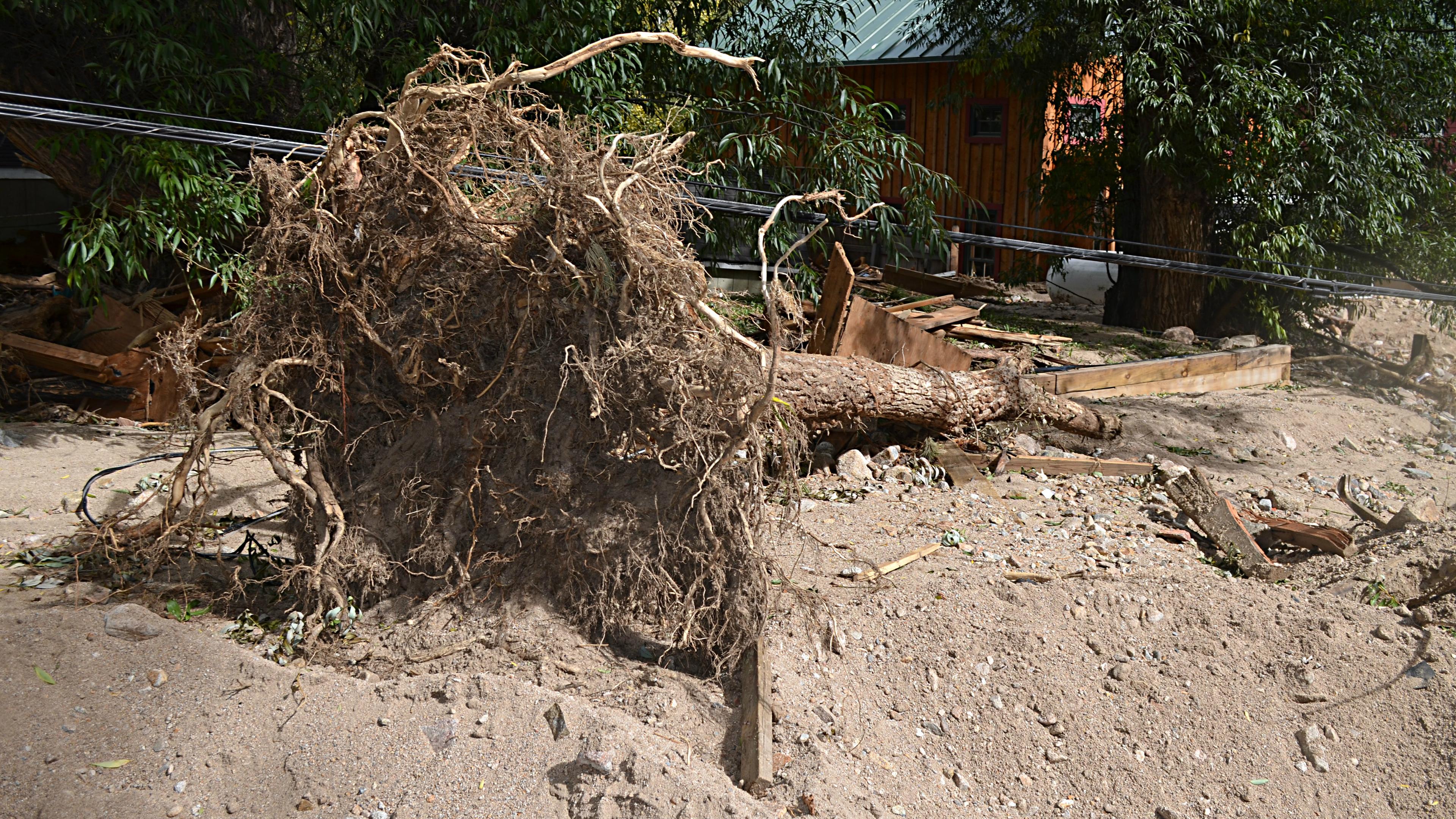
Officials in Boulder, Larimer and Weld counties have been scrambling to repair damaged waterways to handle the runoff.
State climatologist Nolan Doesken says an above-average snowpack is a cause for concern, especially in areas still recovering from September's flooding. But he also points out that snowpack runoff has carved many of the waterways in the state, and those channels handled the runoff in 2011, a record year for snowpack.
How much more snow falls in the region and how quickly it melts will be key factors in whether flooding occurs.