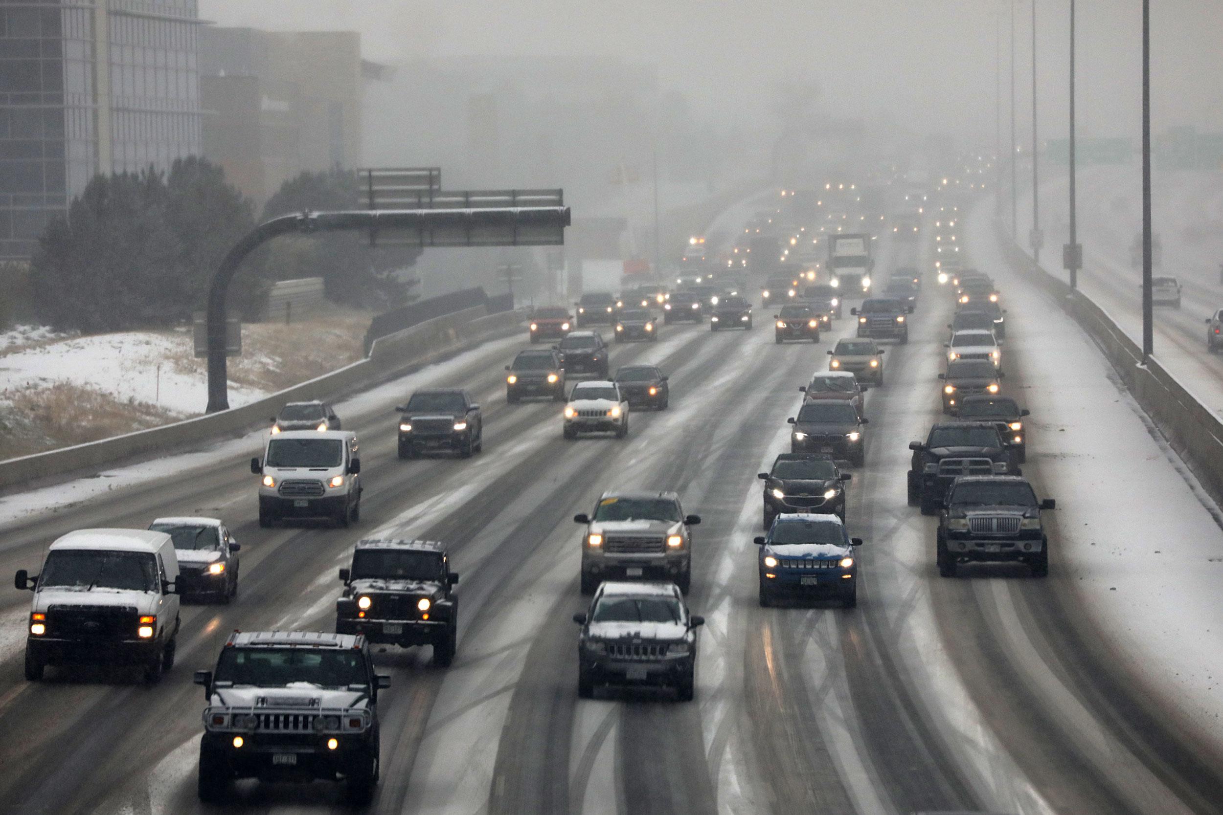
October’s second snowstorm is coming to Metro Denver Wednesday afternoon and evening.
Throughout the day Wednesday, the mountains west of the divide will see snow. In the metro area, snow won’t become more widespread until Wednesday evening.
In Denver, a rain and snow mix will likely begin in the afternoon, according to Russell Danielson, a meteorologist with the National Weather Service in Boulder. Around 7 p.m., he said, it will likely all turn to snow.
The foothills southwest of Denver and the Palmer Divide are expected to be hit hardest. Those places could see up to a foot of snow before it’s all over, Danielson said.
Temperatures in Denver will hover in the 50s for most of Wednesday before dropping to the low 30s in the evening. Overnight lows will be around 25 degrees before it begins to warm up Thursday into the low-40s.
Take some solace, however; the snow will likely be short-lived. Danielson said it will likely be done falling by the morning rush hour. Still drivers could face a tough commute.
There may be a few lingering snow showers along the Palmer Divide Thursday morning, but Danielson said most of the snow in other places will be done by then.