Another storm heading toward Colorado on Monday night looks like it will hit southern parts of the state the hardest.
The National Weather Service has issued a winter weather advisory in Pueblo that starts Monday evening and ends Tuesday at noon. Some places could see more than a foot of snow and lows in the single digits.
The bulk of the snow will come overnight, according to meteorologist Brad Carlberg of the NWS Pueblo office.
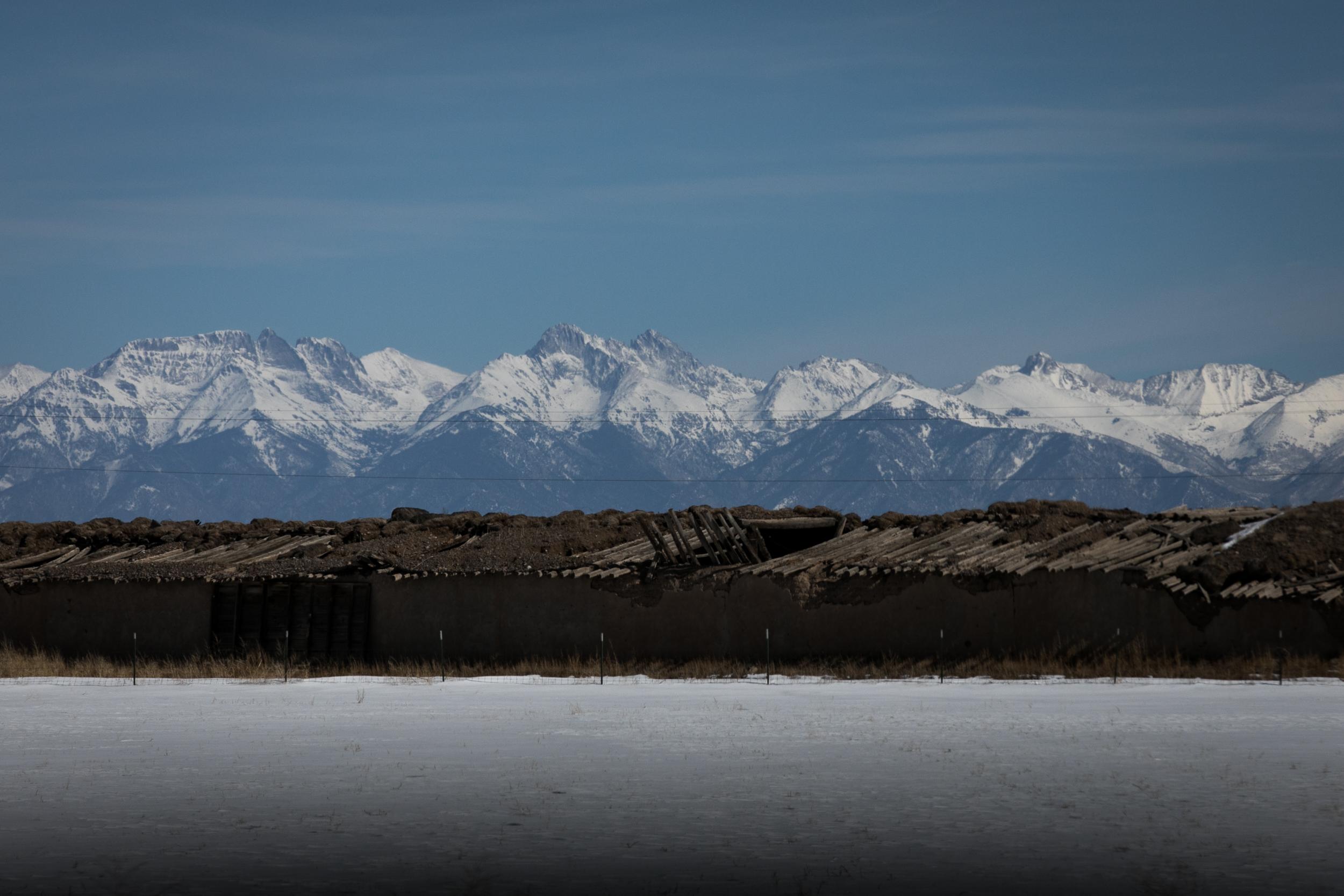
Pueblo is expected to get 3 to 6 inches of snow with a low in the teens. Areas with higher elevations like the Sangre de Cristo Mountains could see 8 to 16 inches. The Wet Mountains may see the most snow, Carlberg said.
"It's looking right now that Tuesday morning's commute will have the bigger impacts," said Carlberg. "Be aware and slow down. Just be cognizant of the roads."
- Your mostly fool-proof guide to driving in a Colorado snowstorm
- Colorado snow shoveling laws, and how to not hurt yourself
- Winter emergency car kit: Make sure you and your ride are ready
- Why "smells like Greeley" means snow is coming in the Front Range
- The science behind why it's so much quieter with snow on the ground
The morning commute could be most difficult south of Pueblo to the New Mexico border. Officials have urged drivers who must travel through those areas to keep an extra flashlight, food and water in their cars for emergencies.