A cold front is expected to sweep through the state starting Thursday night, potentially bringing freezing temperatures and heavy snowfall to some parts of Colorado.
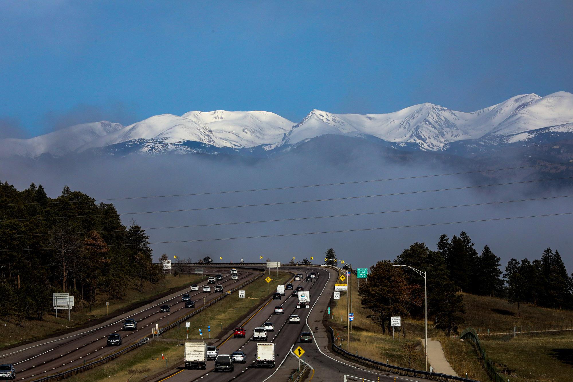
The National Weather Service has issued a winter storm watch from Thursday night through Saturday morning. The Front Range Foothills and Rocky Mountain National Park could be impacted by the shift in temperature. Forecasters predict up to 18 inches of snow could fall on places above 7,000 feet.
Those conditions could also pass through urban areas on the Front Range, but NWS forecasters are far less confident the cold snap will result in significant snow accumulations.
“The current thinking is that most of the snow should melt as it falls due to warm ground temperatures with mainly light accumulations expected,” a NWS forecast report said.
Still, below-freezing temperatures are expected at the end of the week, leaving newly planted crops and gardens vulnerable to frost.
But before the state will deal with winter temperatures, it will first face another day of dangerous fire conditions due to gusty winds and prolonged drought. Starting Thursday morning, a red flag warning will be in effect for most of Southern Colorado, extending from the Utah border to Pueblo and Colorado Springs. The Denver metro area is also expected to see similar fire-friendly conditions until the cold front rolls in Thursday night.