A cold front is expected to dump more than an inch of rain over Southern Colorado Saturday afternoon, bringing much-needed moisture to the area.
Colorado Springs could see up to 2 inches of rain, according to the National Weather Service. Pueblo is forecast to get at least 1 inch.
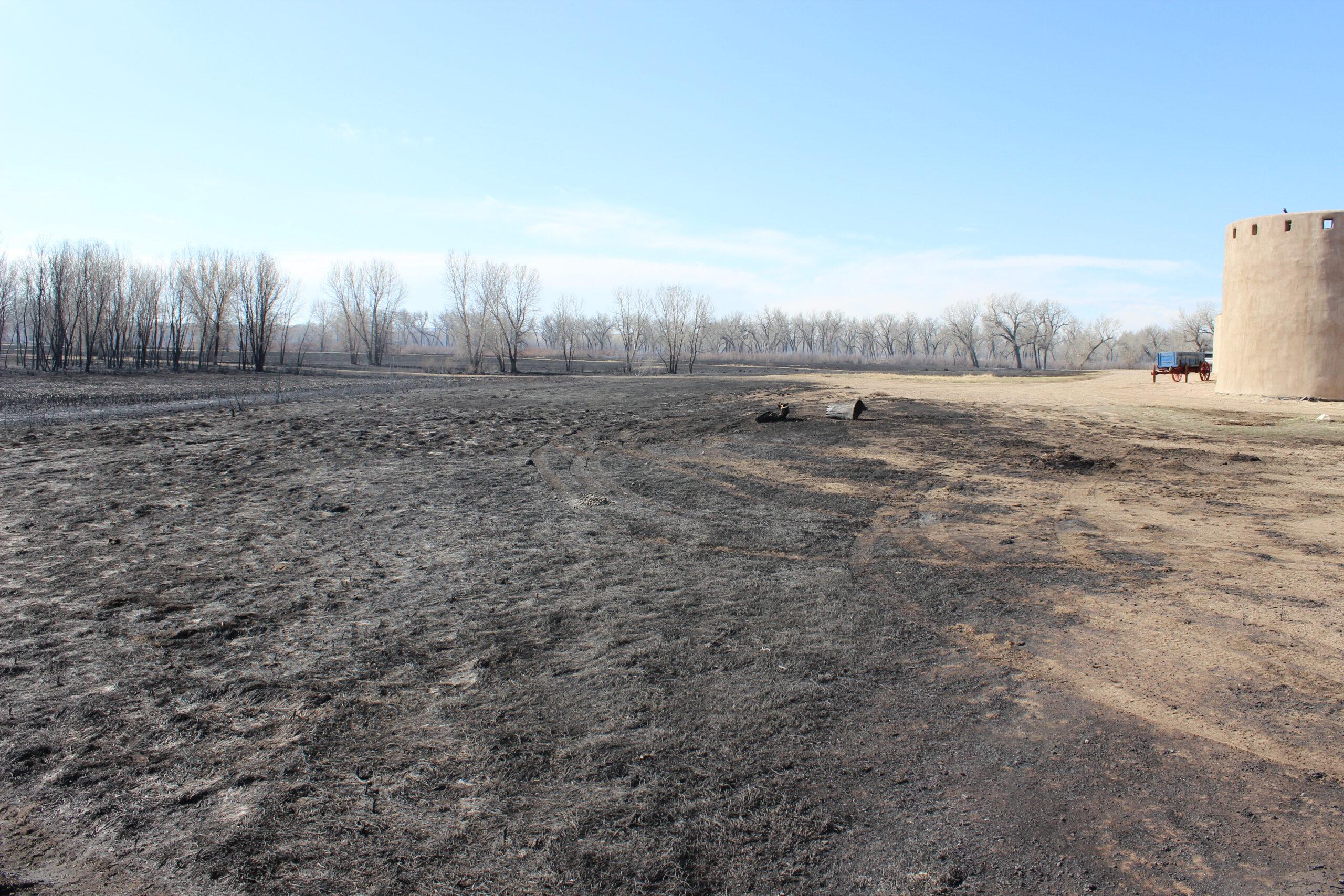
Ahead of the storm, the NWS warned residents living near wildfire burn scars in the region to watch out for an elevated risk for flash flooding. The most likely time for flooding will be between noon and 8 p.m. Saturday, said Paul Steward, a service meteorologist.
“If wind pushes these storms off the mountains there won’t be as much of a risk, but if these storms become stationary then there’s definitely a potential,” Steward said.
Forecasters are most concerned with flooding potential in the Spring Burn Scar in Costilla and Huerfano counties, Steward said.
“It’s still in the younger phase, and we’re in a drought,” he said. “There’s going to be a lot of moisture, which is something we need as long as it doesn’t occur too fast and cause flooding.”
Denver and other Front Range communities further north could see some rain later Saturday. But forecasters are less concerned about flooding in those areas.
The Southern Colorado storms are also expected to bring near record-low temperatures to the region. Highs in Colorado Springs for Sunday are forecast around 55 degrees.