A cold front will move through Colorado Thursday, bringing below freezing temperatures and snow to most parts of the state.
The Denver metro area is expected to experience its first official snowfall of the season going into the weekend. Last week’s light dusting of snow wasn’t enough for the National Weather Service to recognize it as significant accumulation, but Denver’s expecting one to two inches to fall Thursday evening.
If Denver’s first measurable amount of snow does fall Thursday, it will come about a month earlier than last year’s, when the first snow of the season came on Dec. 10.
Southern Colorado will have to wait a little longer for the white stuff. Colorado Springs may see up to two inches of snow, but areas south of there, like Pueblo, Alamosa and Trinidad will likely see less than an inch. The Eastern Plains will see similar conditions.
Urban parts of the Western Slope can expect similar conditions to the Denver metro area. Grand Junction could see up to two inches of snow, with accumulations getting steadily higher as you head east into the mountains.
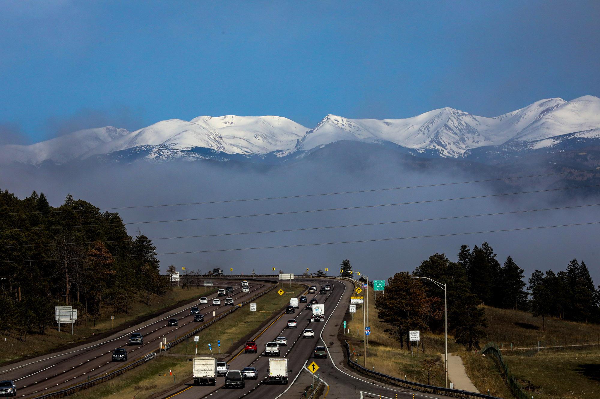
By far the heaviest accumulation of snow Thursday will be in mountainous regions. Parts of the Eastern San Juan Mountains near Pagosa Springs could see up to two feet of snow and gusts of 45 mph winds. Towns along the I-70 corridor could get between six to 10 inches, depending on the altitude.
The recent snowfall has allowed Colorado ski resorts to begin opening their slopes. Loveland Ski Area opens Thursday, becoming the fourth resort in the state to start its season. A-Basin, Winter Park and Keystone all opened in October.
Road conditions will be hazardous, especially along I-70 and other mountain roads. Travel could be impacted by accidents or road closures. Chain and traction laws may be in effect, and drivers should check those rules before leaving their homes.
The snow is expected to peter out in urban areas by Friday morning, with some winter conditions lingering in the mountains.


