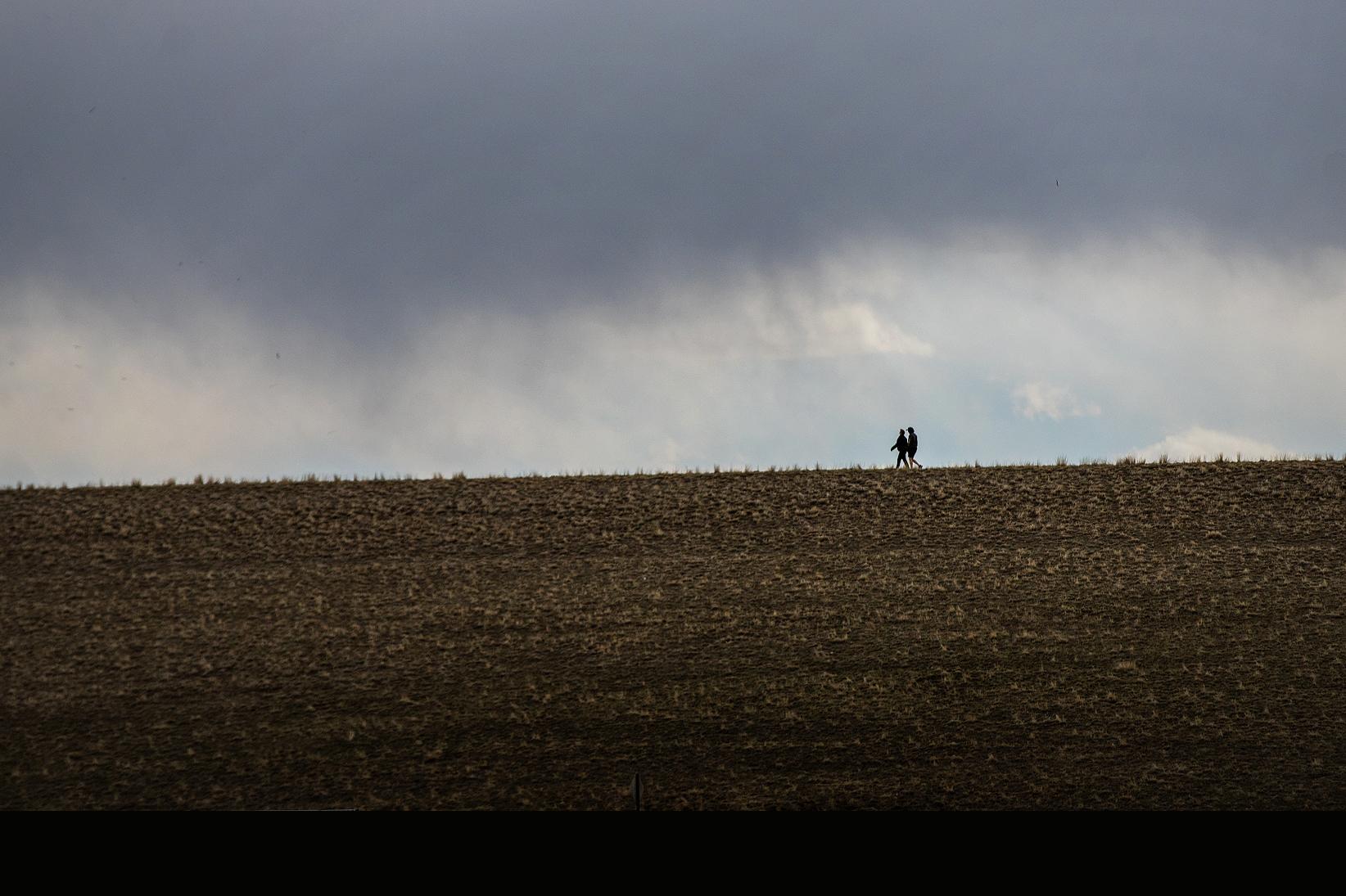
There's more rain and thunderstorms in the forecast this week for much of Colorado.
The brunt of the storm passing through the state will come Sunday and Monday. The area between Boulder and the New Mexico border will see the harshest conditions.
“Within that area, the strongest storms there were looking at producing very heavy rainfall, some golf ball-sized hail, and could see some strong winds as well,” National Weather Service meteorologist Bernie Meier said.
The NWS issued a flood watch for the I-25 corridor between Boulder and Colorado Springs that will be in effect until late Sunday. Some areas could receive up to three inches of rain in a short amount of time, which could lead to flooded streets and overflowed streams.
Grand Junction and the greater Western Slope area could also see similar stormy conditions Sunday. The storms are expected to be minor in urban areas, with major precipitation expected in higher elevation areas along I-70.
Meier said rain and thunderstorms will likely continue for the rest of the week, mirroring conditions seen on the Front Range last week. Starting Tuesday, rain and thunderstorms are expected to be mostly limited to the afternoon and evening.
Since last Sunday, Front Range communities have received between one to three inches of rain. A majority of the state is now no longer under drought conditions, however experts believe that won’t last.