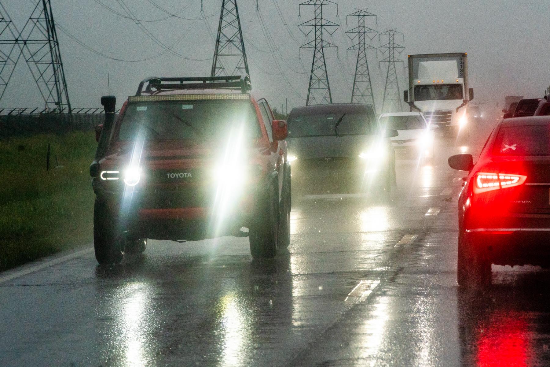
Fourth of July fireworks may be over, but the rainy weather that impacted Tuesday night’s festivities isn’t done yet.
Front Range communities will experience cooler-than-average temperatures Wednesday, with highs as low as the mid-60’s in most of northern Colorado. Rain and thunderstorms are likely, but won’t be as intense as what hit the Denver metropolitan area over the holiday.
“We're not expecting any heavy rainfall like we saw last night with the cool temperatures, [which] helps to stabilize atmosphere,” said Bernie Meier, meteorologist with the National Weather Service. “So thunderstorms will be few and far between. If they even form today, it will be more kind of a showery type weather.”
Denver metro communities in higher elevations, particularly near the Palmer Divide, could see strong winds, large hail and heavy rain develop quickly.
There’s be a higher chance of stronger storms in Colorado Springs and areas south of El Paso County. Warmer temperatures in the region could cause more unstable conditions that lead to stormy weather.
Meanwhile, weather on the Western Slope remains hot. While a red flag warning isn’t currently in effect, the risk of fire due to warm, dry conditions is still present between Grand Junction, the Four Corners region, and the I-70 corridor west of Vail.