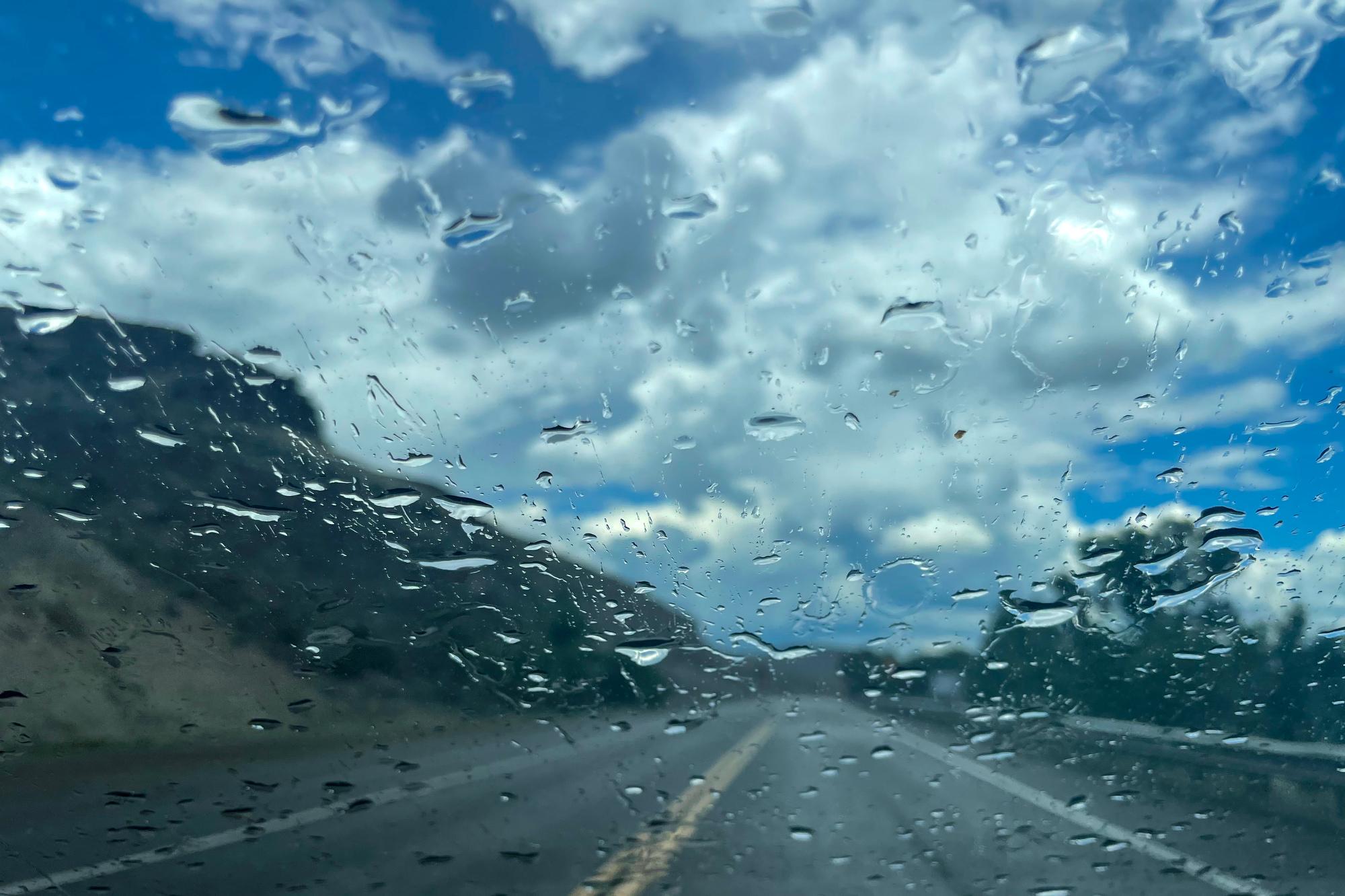
A persistent low-pressure system hanging over much of Colorado continued dropping heavy rain and mountain snow Tuesday, while forecasters warned of possible flood conditions for southeastern parts of the state.
Hydrologist Justin Louen with the National Weather Service office in Pueblo anticipated areas of the lower Arkansas River valley east of Pueblo will begin flooding by Wednesday morning. The river will possibly remain above flood stage into Friday or Saturday, days after the rain-carrying clouds are predicted to leave the region.
“It's just hazardous being near the rivers when we're experiencing these levels of flows,” Louen said. “We typically see a fair number of water rescues occurring every year, even for those streams and rivers that aren't experiencing flooding.”
Other area streams expected to have notable — if not floodstage — increases in runoff include Fountain Creek, the St. Charles River and other tributaries of the Arkansas River. Louen recommends drivers steer clear of flooded roadways and heed orders from local law enforcement and emergency management.
The spring storm is forecast to drop 2 inches of rain or more across Southern Colorado by midday Wednesday, but some rain is expected for the entire Front Range Tuesday. For elevations above 8,000 feet, that rain is likely to become snow and winter weather advisories are in place for areas ranging from Chaffee and Fremont counties up to Larimer and Boulder counties. Up to 10 or 20 inches of snow are predicted for some regions of the foothills and mountains.
Generally, the moisture is a good thing for the state as a below-average snowpack melts, perhaps too quickly.
“It won't make a significant boost to the overall snow pack,” Louen said. “But, it is a little additional moisture nonetheless, which is, I think, always a good thing.”
The low-pressure system is expected to move into Oklahoma and Texas over the next day, with precipitation tapering off in Colorado by Wednesday evening.