This story is part of KRCC's Peak Curiosity series in collaboration with Colorado Wonders.
Updated at 7:52 p.m. on Tuesday, Nov. 18, 2025.
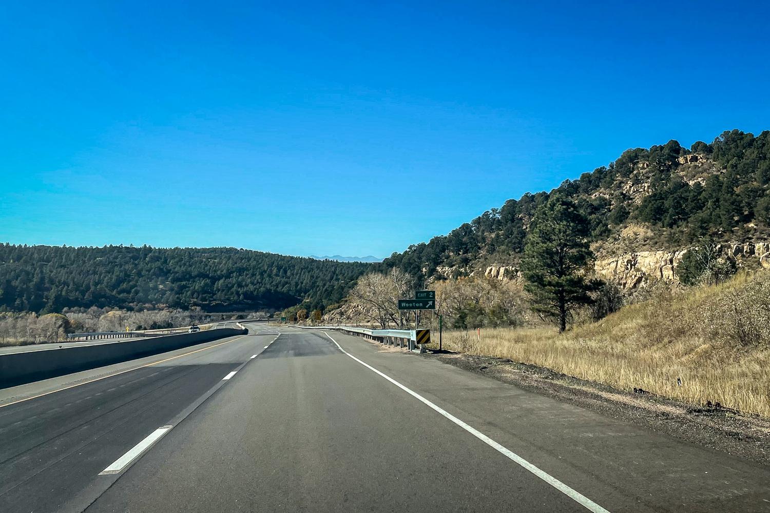
Driving up Raton Pass, headed south toward the New Mexico border, it looks like images of the iconic southwest. The rolling hills and rising buttes are covered in tall yellowing prairie grass and adorned with bunches of pine and juniper trees.
The interstate sits on what was once the Mountain Branch of the Santa Fe Trail. Indigenous people lived in the area for centuries before European exploration and westward expansion.
Once over the summit of the pass, you start heading down into New Mexico and instantly understand the state's nickname — the Land of Enchantment.
The mountains look like sleeping giants, stretched out and shrouded in this vast dusty haze.
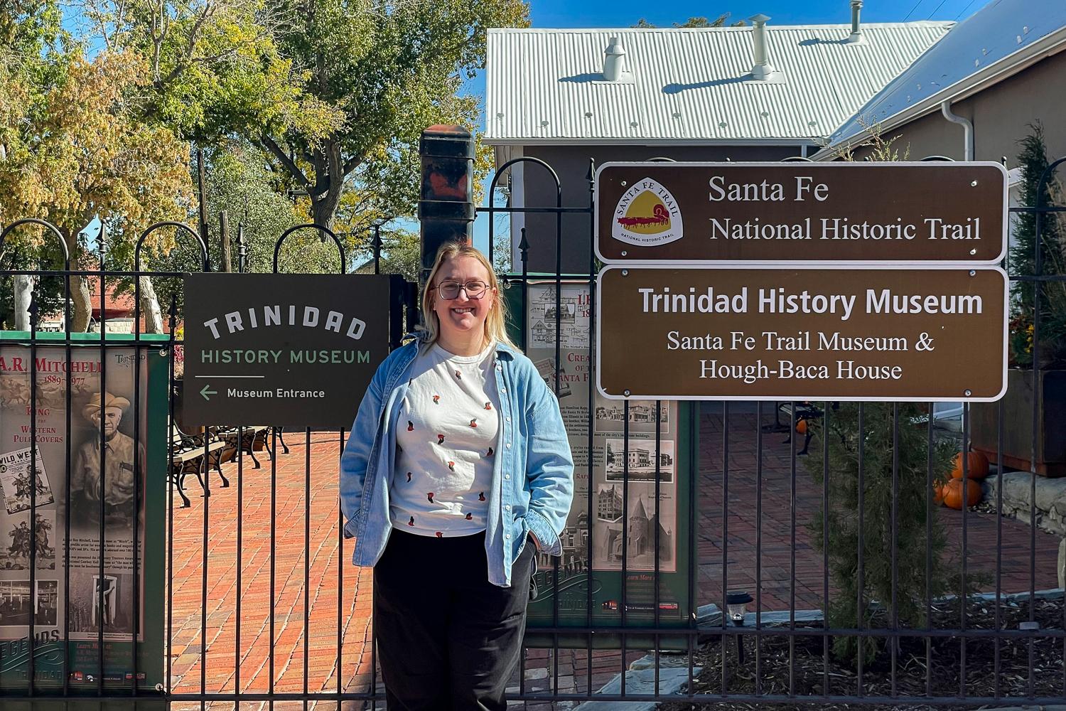
Millie Duran, a historian at the Trinidad History Museum, said this route is kind of the Southwest's version of the Oregon Trail.
“It's pretty tough to get through, especially with wagons full of goods,” Duran said. “You get lame animals, you get broken wagons.”
The two branches
The Santa Fe Trail splits in Kansas between the Mountain Branch, where Raton Pass is now, and the Cimarron Route that goes through the panhandle of Oklahoma.
Trinidad resident Rich Alford is writing a book about the history of the area. He said during the early days, the Cimarron Route was more popular because it was flatter.
“It's an easier route, but the problem with that pass is that part of the year, you ran out of water. And so you might be out there for weeks and not have any source of water,” Alford said.

Raton Pass, on the other hand, and thereby the Mountain Branch, follows the perennial Purgatoire River, and is a more direct route from Colorado.
“You're always near fresh water. You can get over it quickly. It's like the short trek into Santa Fe, but it's really, really hard, especially depending on the time of year that you travel over Raton Pass,” Duran said.
The Cimmeron and Raton branches come together just outside of Santa Fe, in Las Vegas, New Mexico.
Alford said that before 1821, the land on the southern side of the pass was a territory of Spain.
Shifting borders
“New Mexico was very isolated while they were part of Spain; they were not allowed to trade with anyone at all,” Alford said.
Once Mexico gained its independence, trade opened up.
Twenty-five years later, the United States would wage war on Mexico.
“We really trumped up the war. We invented a reason to attack Mexico. We knew they couldn't challenge us significantly, and we knew we could take half their land. And that's exactly what we did,” Alford said.
Among the outcomes was the Treaty of Guadalupe Hidalgo, which transferred a large swath of land, including this area, to the U.S.
Growing use of the route
By 1861, the U.S. was embattled in the Civil War. The Union and Confederate forces were in a race to stake western territories. Duran said the split in the Santa Fe Trail served both the north and the south.
“The Raton Pass is used for the movement of Union troops. The "Cimarron Route, again, moving through more of Kansas into Oklahoma and Texas, was really more Confederate territory,” Duran said.
In 1865, as the Civil War ended, mountain man Richens Lacy Wootton, known as Uncle Dick Wootton, bought part of the pass and built a toll road.
“It was quite a process. They had to blast hills with dynamite. They had to build 26 bridges over Raton Creek as it comes down over the pass,” Alford said.
The pass was built with the help of Ute Indians, who were given free passage, according to Alford. Everyone else paid $1.50 per wagon each way to pass — over $50 each way in today's dollars.
Wootton built his house on the pass and, as the story goes, collected many of the tolls himself.
As mining boomed in Colorado, rail companies were laying tracks all over the state. Wootton sold part of his land to the railroad company.
“The train is built over Raton Pass fairly quickly,” Duran said.
The route is still an active railway, and is part of Amtrak's “Southwest Chief,” a 2,000-mile route that connects Chicago to Los Angeles.
Decades later, in the mid-20th century, the U.S. started building the interstate system, including I-25.
“There's always reasons that people need to move,” Duran said. “And then it's still used today.”
That treacherous, narrow rocky scramble that led settlers from the east or traders from the south to new opportunities is now a major highway where 18-wheelers transport goods, and tourists pull over to take photos with the New Mexico or Colorado state signs.
“It's constantly used by people for all of these different reasons throughout history; that is the story of shifting borders, shifting industry, shifting towns, shifting states, shifting just traffic itself between wagons, railroads, cars, walking, or horseback,” Duran said.
Editor's note: This article was updated with the correct spelling of the Santa Fe Trail and Cimarron Route.