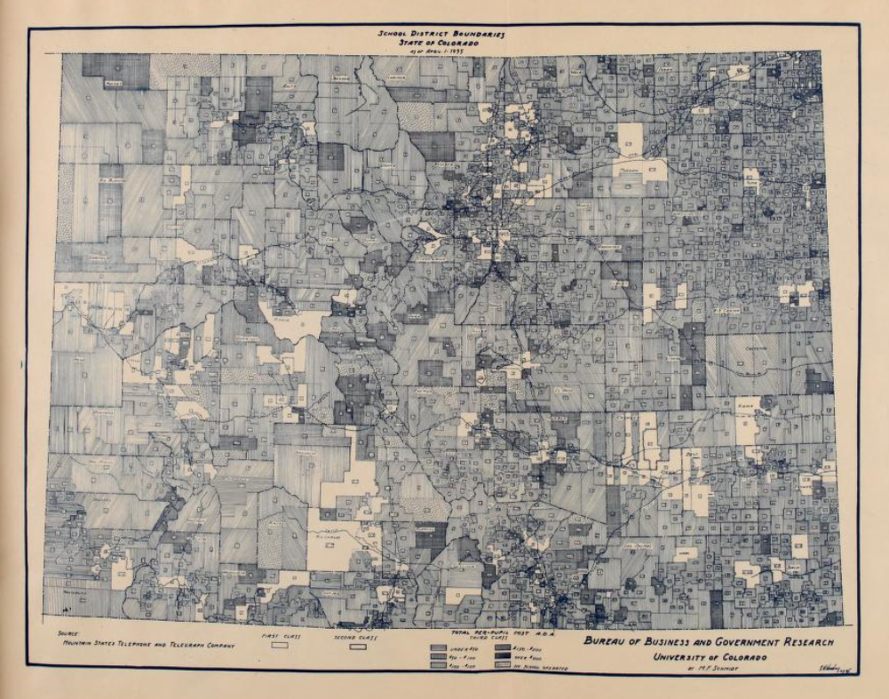
If you were asked to draw a map of Colorado, you might draw a simple rectangle, four straight lines. But look closely at a detailed map and you’ll see kinks and crooks in the lines that mark the state’s borders -- in fact, nearly 700 of them. All thanks to 19th century surveying tools and techniques. Our southern neighbor wasn’t thrilled about that. So in 1924, New Mexico went to the US Supreme Court to try to get Colorado to straighten out the border. That would have put one town, two villages and five post offices into New Mexico. But the Supreme Court ruled for Colorado. And that’s why, if you look at a detailed map, south of Pagosa Springs, near the community of Chromo, you’ll see a bend in the border. That’s just one of the more obvious examples of why Colorado is not a perfect rectangle.
About Colorado Postcards

Colorado Postcards are snapshots of our colorful state in sound. They give brief insights into our people and places, our flora and fauna, and our past and present, from every corner of Colorado.


