
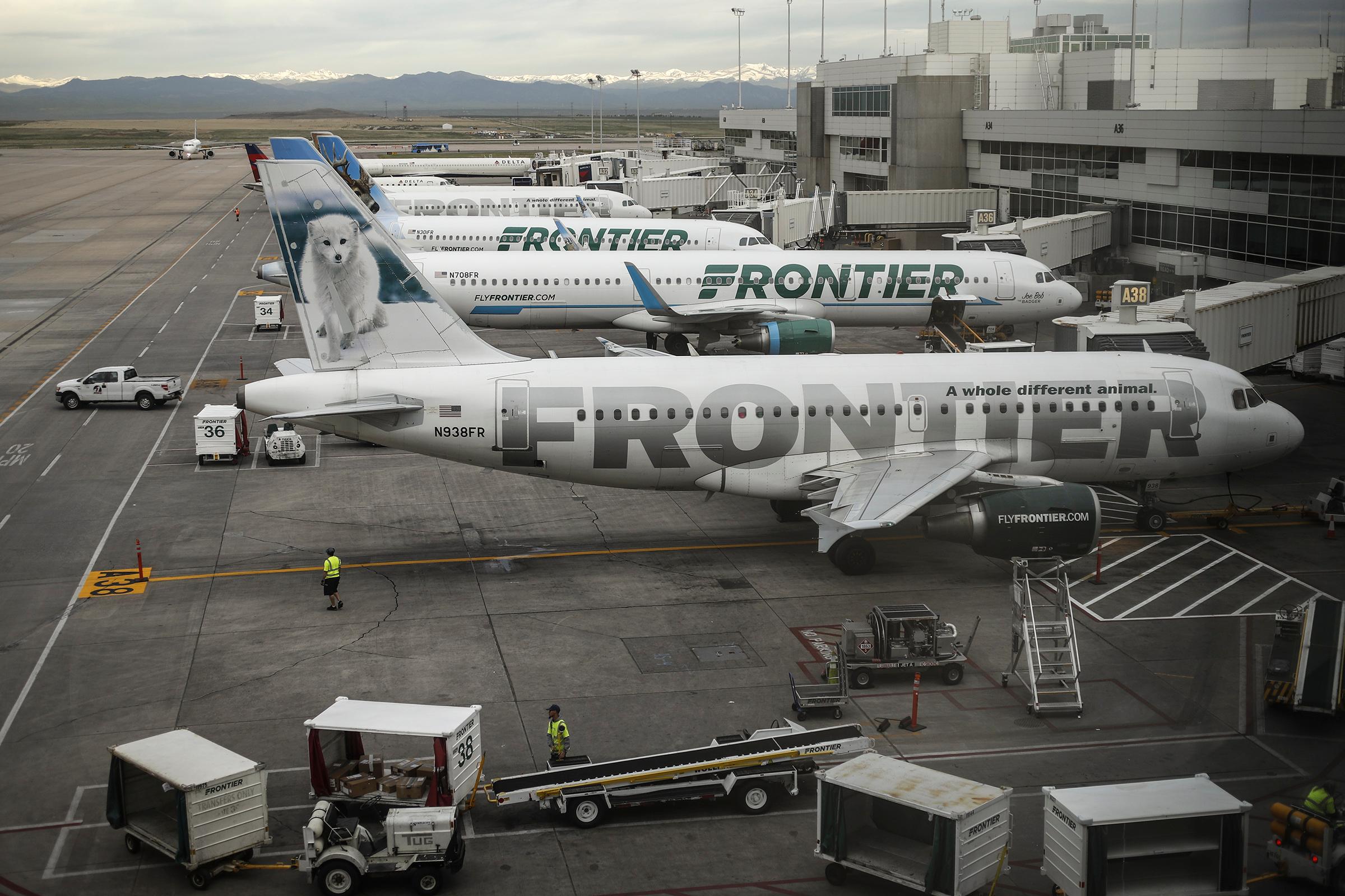
Air traffic over the Denver area — what remains after coronavirus-caused cancellations anyway — will change significantly Thursday.
The Federal Aviation Administration’s controversial Denver Metroplex Project, which redrew flight paths in and out of Denver International Airport and nearby smaller airports, will kick in on March 26.
“The comprehensive project will use satellite navigation to move air traffic more safely and efficiently through the area,” the FAA said in a news release.
A spokesman declined to comment because CPR News wouldn’t send questions ahead of an interview.
The new routes mean that planes will be heard and seen in new places, while other areas will have less air traffic than they're used to. The FAA gave its final sign-off for the plan in January, concluding the new routes would have “no significant impacts.”
But the new routes have caused controversy in some corners of the metro and outlying areas. Officials at the Centennial Airport have argued that it could move hundreds of flights there over nearby suburbs at low altitude. And residents in Gilpin County, west of Denver, are upset over a new path that will shift flights that used to travel over Boulder south to their skies.
“We moved up here for the serenity and beauty of the mountains,” Gilpin County Commissioner Gail Watson said. “And so to have that under attack is very concerning to many of our residents.”
The FAA didn’t hold any public meetings there, Watson said, though she added that FAA Administrator Stephen Dickson did come to Denver to meet with elected officials earlier this month.
“He did indicate there’s an ability to fine-tune it as we move forward,” she said. “But the concern is obviously that whatever they do in one area impacts another.”
Last week, Gilpin County, the Centennial Airport, the city of Greenwood Village and Broomfield-based Mountain Aviation filed a petition with the U.S Court of Appeals in Washington, D.C., asking the court to review the FAA’s plans.
The new routes are part of a long-planned program meant to minimize wasted fuel and increase efficiency. By using satellite location, the FAA can set flight paths that are more narrow, predictable and at lower altitudes, the New York Times reported last November.
That’s ticked off the people who live under those new paths. Residents in a handful of cities like Boston and San Francisco have sued the FAA, the Times reported.