When Colorado’s Independent Congressional Redistricting Committee released its first draft map this summer, all eyes were on where they decided to put the state’s newest seat, the 8th congressional district.
The committee stressed the map is just a starting point for discussion, and so far, people have had a lot to say.
The district’s spine is U.S. Highway 85, as it stretches up and out of the north Denver metro area toward Greeley. The rough oblong looks good and compact on paper — but lines on a map show little about the common ties that may bind people here together, or the conflicting forces that pull them apart.
Rural vs. Urban
Driving north out of Commerce City, construction cranes dot the southern stretch of the highway. Over the past decade, thousands of people have moved north out of Denver in search of affordable housing or better schools or a quieter existence.
“I would say the biggest change that I’ve noticed (along US 85) is fields being turned into developments,” said Grace Hood. She’s CPR News’s former energy and environment reporter and spent a lot of time reporting in this area of the state. Now she’s studying urban and regional planning.
Brighton has grown by nearly 10,000 people in the last decade. The two counties it straddles, Adams and Weld, also both boomed between census counts, Adams by almost 18 percent, Weld by a massive 30 percent.
“This southern part of Weld County that we’re approaching,” Hood observed, “really comprised a significant chunk of growth, which I think is a big reason why Colorado got an additional congressional district here.”
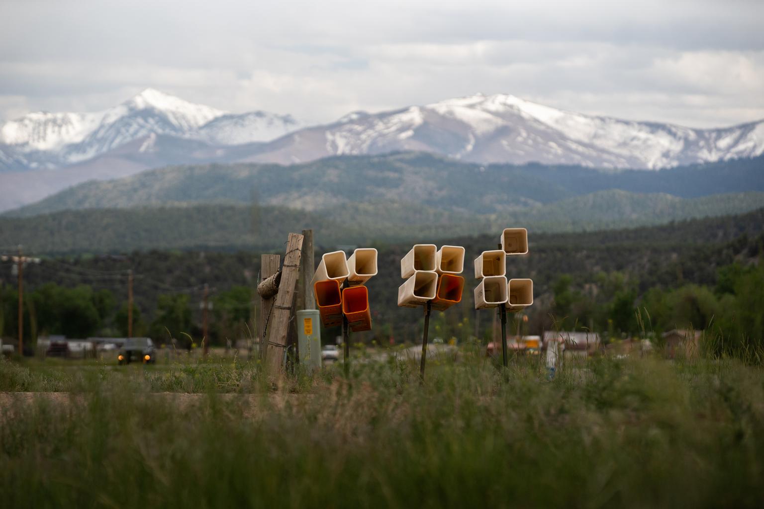
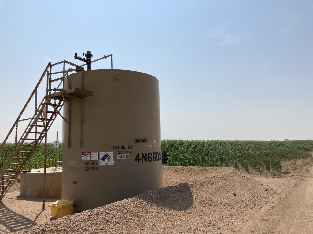
Speeding by on the open road, though, it doesn't take long before we're past the housing developments and into a landscape of flat fields, grain silos and the still heads of pumpjacks waiting to come to life to start pulling oil out of the ground.
Agriculture and energy are the two prevailing interests the further north we drive in the proposed district. And the little towns strung along the highway begin to lose their suburban feel.
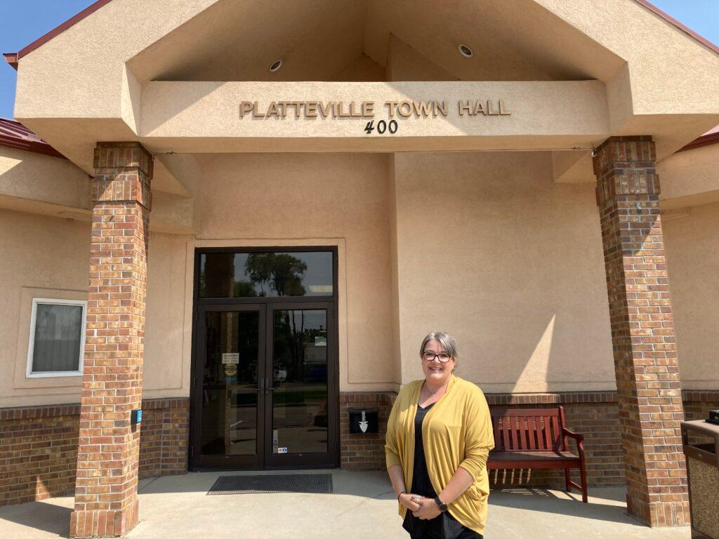
“We’re a close knit community for the most part, I would say, of farming and agriculture... Energy is big here too,” said Platteville Mayor Adrienne Sandoval. “I always describe Platteville as halfway between Denver and Greely and close to neither.”
When Sandoval first saw the draft congressional map, one thought went through her mind.
“‘Holy smokes, we're going to get ignored. Completely ignored,’” she recalled thinking.
It’s simple math. The southern portion of the district, which includes parts of Arvada, Westminster, Broomfield, Thornton, and Commerce City — contains more than 600,000 people. In the rural northern part of the district, Platteville and its neighbor, Fort Lupton, only have 11,000 residents between them.
Sandoval fears her rural community’s concerns will be dwarfed by those of the urban communities to the south, something she expressed to the commission.
It's something we also heard from voters around here.
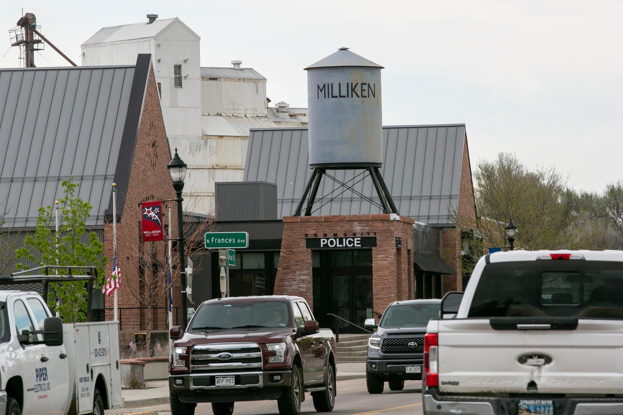
Leann Larson lives in Milliken, the northernmost town in the proposed district, where shopfront windows sport ‘Energy Strong’ signs. When I showed her the draft map, she too had a visceral reaction.
“To me it says my vote won’t count. Only Denver will count,” she said, flicking the Denver portion of the map. She doesn’t see a community of interest within CO-08’s proposed boundaries. “We have a lot more in common with Weld County and Greeley than we do Denver.”
But the rest of Weld county will be in CO-04.
And then there's politics to think about. The district’s north-south split is also a political one — with bluer areas closer to Denver and then slowly getting redder as you head up the road. Based on past election results, CO-08 would lean Democratic.
The district's representative will have to balance oil and gas jobs in the north with communities in the south concerned about the health, environmental and climate change effects of the industry. Will they prioritize advocating for the agriculture and energy sectors, or for tech and other interests rooted in the suburbs?
“I think whoever ends up with this district — if the boundaries are largely maintained — is going to have some challenges,” said Hood.
Suburban divides
But north-south isn’t the only way this district is divided.
Zoom in on the densely-populated southern portion of CO-08 and you see a cross section of counties, cities and towns — each with their own identity and many of which could end up divvied up between different districts.
The draft map for CO-08 confused Jefferson County Commissioner Tracy Kraft-Tharp the first time she looked at it, and the second too. While she's happy the state is getting another voice in Congress, she doesn’t see a common thread overall, especially for her hometown of Arvada. and especially when you look at how the congressional map compares to the statehouse maps for this area.
“For me, my House district goes south and west. My senate district goes north and then my congressional district divides up my town and goes north into areas like Weld County.”
Arvada Mayor Marc Williams is concerned the draft map splits his city between two congressional districts — breaking part of it off from the rest of Jefferson County. For him, this summer's tragic shooting of a police officer in Olde Towne showed in stark relief just where his community of interest lies.
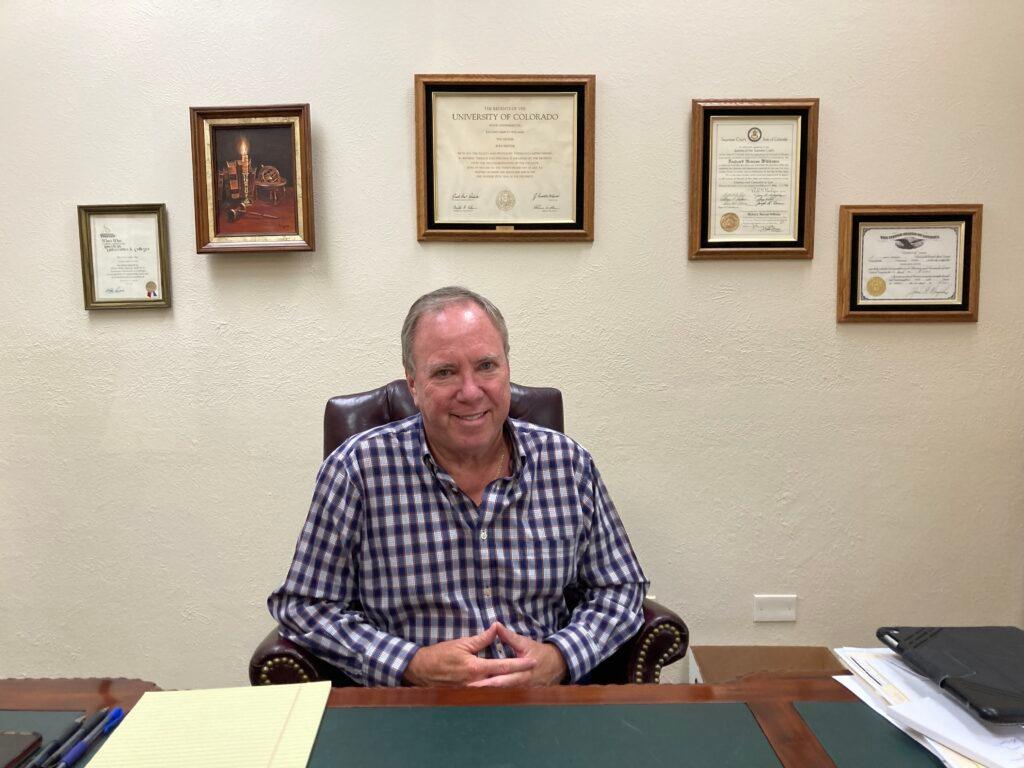
“It wasn't just Arvada police (responding), it was Wheat Ridge. It was Jefferson County Sheriff's department. It was Lakewood, Edgewater, all of them immediately were on scene and that's a community of interest,” he recalled.
His priority is that Arvada stay with the rest of Jefferson county. Public Safety, health care, infrastructure, economic development, higher education — all of them are unified at the county level, he said.
Williams’ desire echoes one of the main requests redistricting commissioners heard from residents of these areas: Keep my city whole. Keep my county whole.
But commissioners had a follow-up question for people making this request: What should we change to do that? Congressional districts have to have exact populations, so moving a line to unite a city or county will have ripple effects across the map for both the boundaries, and political makeup of districts.
“It’s sort of like, you know, when you push inside the bubble. When you push on one edge, the other edge, it moves. And so they've got a lot of work ahead of them,” Williams said.
An Adams-centric proposal
One group that has waded through the data to suggest concrete changes to the draft map is the Colorado Latino Leadership, Advocacy & Research Organization, known as CLLARO. Their goal is to ensure Colorado's Latino population comes out of this process with equitable political representation.
Under CLLARO's proposal for CO-08, Latinos would make up about 40 percent of the population — about 10 points higher than the draft map. To do that, it leaves out Jefferson and Weld counties, and instead adds in a slice of the western and northern part of Denver.
“We thought that it was important to have the district centered in Adams County where there's been so much growth,” said Alex Apodaca-Cobell, who designed the map for the group. “And where traditionally the community has not been the center of voting power and attention.”
Adams County definitely knows a thing or two about being split between congressional districts; currently it’s divided between the 4th, 6th and 7th districts.
“It is an issue,” said Adams County Commissioner Emma Pinter, “And it can also be an asset where we have multiple advocates. It really depends on who our members of Congress are and how much they identify with Adams county and feel rooted in the struggles that we're facing.”
Up north again, In Platteville, Spencer Bradnan isn’t as concerned by all the differences found within the proposed CO-08. He likes that his town could be in a much smaller district — at least geographically – than the vast CO-04, which covers much of the eastern part of the state. And the Platteville Board of Trustees member added that if everyone in the new district is equally unhappy, maybe it’s a good thing.
“We’re all Coloradans. We’re all humans. I don’t see why we have to draw barriers and lines between each other,” he said.
- Colorado’s Getting Another Seat In Congress. Here’s How The Congressional Map Will Be Redrawn
- Redistricting Was Supposed To Be Less Partisan In Colorado. Politics Are Getting In The Way Of That
- Colorado’s New Eighth Congressional District Doesn’t Have Its Final Shape Yet, But It Does Have A Candidate
- Redistricting: What You Need To Know To Learn The Things You Need To Learn
- A Congressional District For The North Denver Metro? Here’s The First Draft Of Colorado’s New Eighth District