Colorado’s first major storm this winter is expected to add a bit more to the snowpack while keeping travel hazardous on mountain roads Monday.
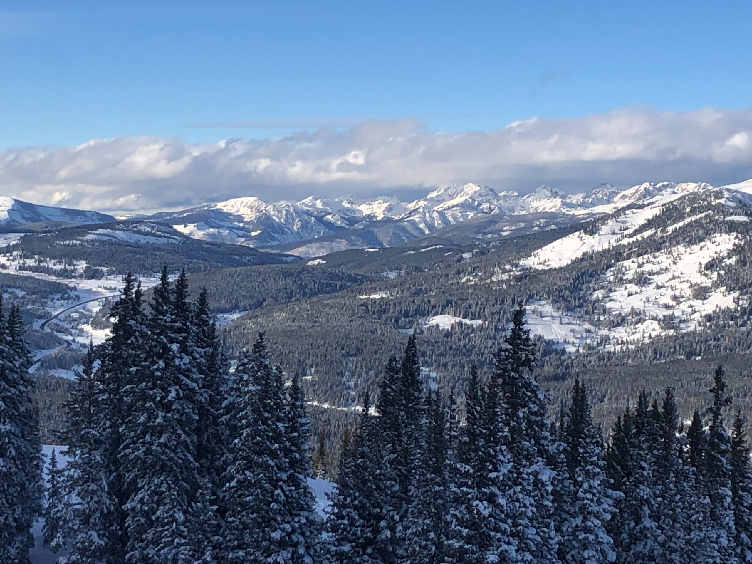
The Christmas storm brought several inches of snow into areas such as Aspen and Rocky Mountain National Park, much to the delight of winter sports enthusiasts.
The National Weather Service forecasts light snow showers throughout the day. Snowfall in high altitude mountain communities will pick up again in the late evening, with some areas expected to receive up to a foot of snow.
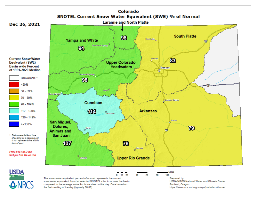
Already, the storm has helped much of the state’s snowpack, raising levels west of the Continental Divide close to, or even above, normal.
Chain and traction laws will likely be enacted on mountain roads as gusty winds are expected to cause whiteout conditions at times. I-70 closed in both directions this morning for avalanche mitigation.
The mountains will get a brief respite in the midweek, with lighter conditions expected from Tuesday afternoon to Thursday. However, a fresh round of stormy weather is expected to arrive by the weekend.
Weather officials in Grand Junction described the week’s upcoming weather as an “endless series of disturbances.” Lower parts of the Western Slope are not expected to receive a significant amount of snow.
While Christmas in Denver saw relatively high temperatures, they’re expected to drop into slightly more seasonally appropriate numbers this week. However, little to no snowfall is expected on the Front Range.