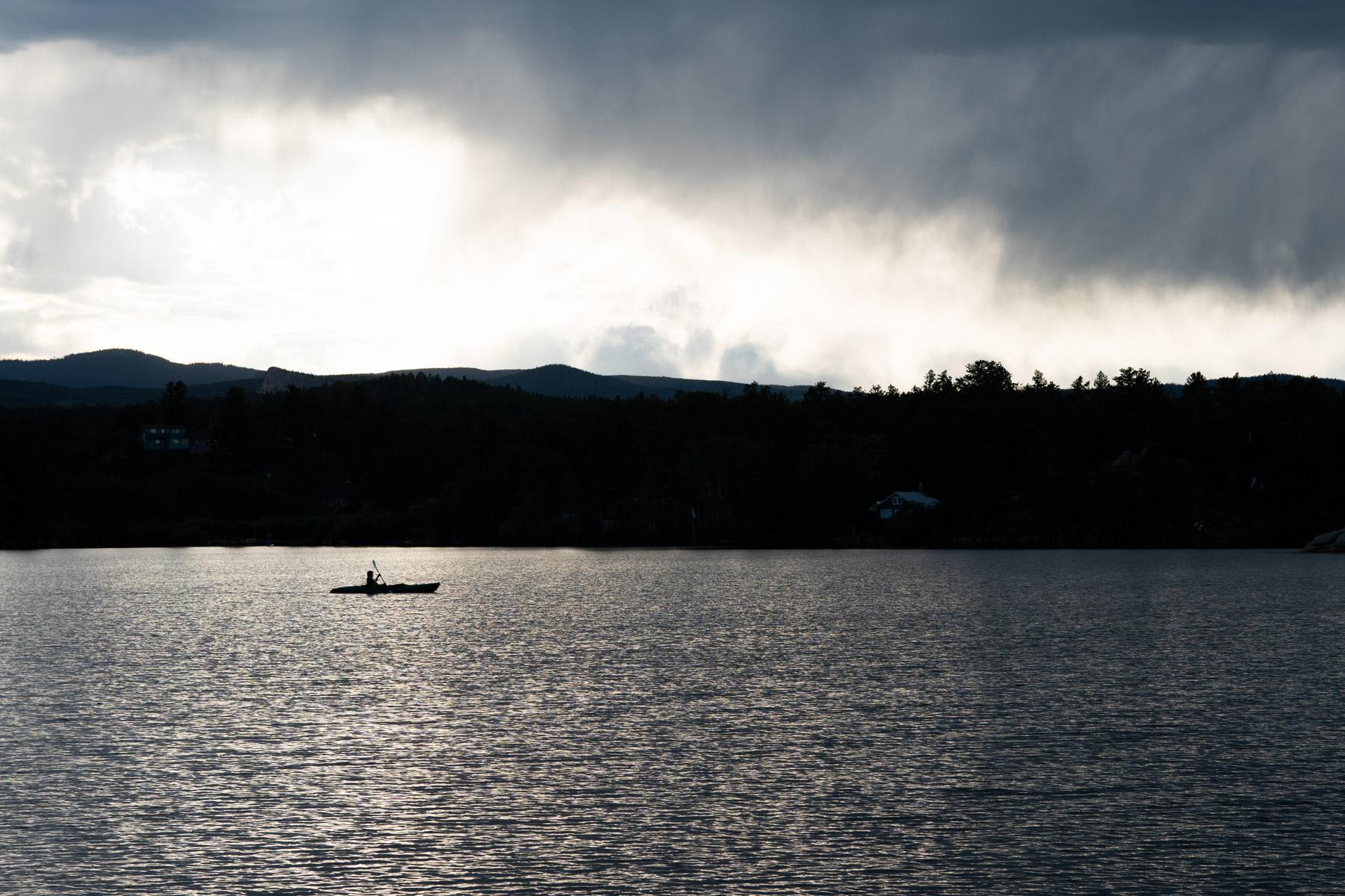
Another round of storms is forecast to dump up to 2 inches of rain in some Front Range communities Tuesday afternoon.
Forecasters with the National Weather Service have issued a flood watch for the entire I-25 corridor. The advisory extends into Estes Park, parts of Grand County and farther east into the plains.
Storms brought heavy rain to parts of the Front Range Monday night, causing flash flooding in some areas. Videos shared on social media show cars stalled in flooded intersections in Fort Collins.
Manitou Springs recorded 2.5 inches of rain in less than an hour. Local authorities issued evacuations for a few neighborhoods, but no injuries were reported, said Kathleen Torgersson, a forecaster with the NWS’ Pueblo office.
Tuesday’s storms carry a higher risk of flash flooding because many communities are already wet from Monday’s rain, she added.
“Especially now that the ground is saturated, that could occur rapidly,” Torgersson said.
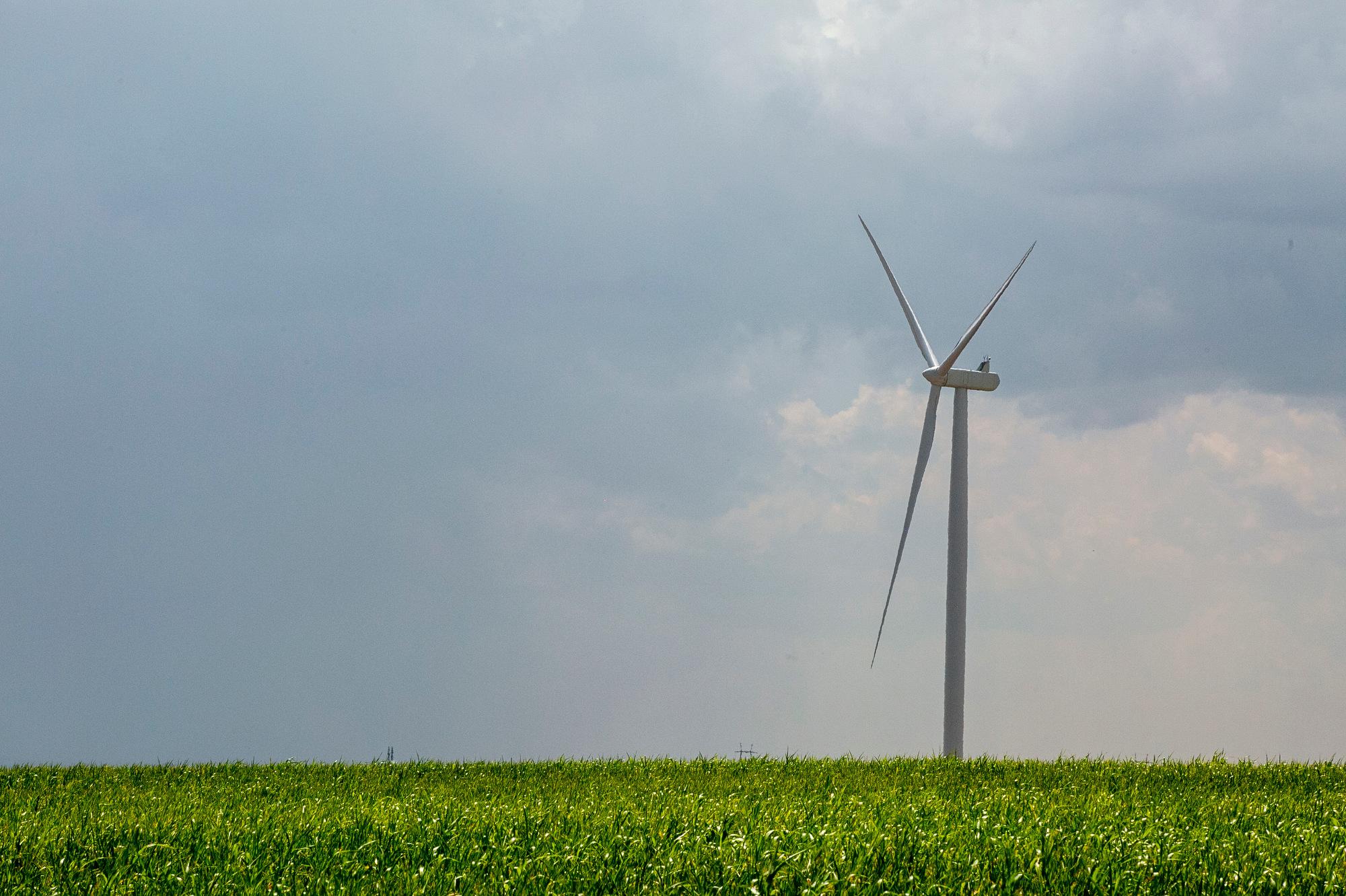
Some areas could see up to two inches of rain falling in less than 30 minutes this week, which is intense enough to flood city streets or turn a wildfire burn scar into a dangerous debris flow. The Colorado Water Conservation Board has issued an alert of a moderate flooding risk for residents in a dozen northwestern Colorado counties, including the Denver metro.
Current weather models suggest the rainstorms will taper off as temperatures drop on Thursday and Friday, but Tuesday and Wednesday could be wet and hazardous.
In Southern Colorado, Teller and El Paso counties are forecast to see the heaviest rain Tuesday.
Storms should hit the I-25 corridor around 3 p.m., according to the NWS.
Torgersson said if your area is under a flash flood warning, be packed and prepared to evacuate. Don’t drive through flooded roadways or intersections.
“And be prepared for anything,” she said. “We will have a lot of energy in the atmosphere and large hail will be possible as well. So be prepared to receive warnings in several different ways so that you can take action and protect your property and yourself mostly.”