Heavy snow is expected to return to Colorado’s mountains Wednesday, bringing dangerous road conditions and high avalanche danger.
A winter weather advisory is in effect for most higher elevation areas, including northwest Boulder County, Rocky Mountain National Park and Mount Blue Sky. Snow totals are expected to be between 6 to 14 inches. Strong gusts of wind of up to 70 miles per hour are expected to exacerbate poor road conditions.
This would be the second major snowstorm in the mountains in less than a week. The Colorado Avalanche Information Center warns that there will be a moderate to high avalanche danger for most of the mountains through Friday. Avalanches are expected to trigger easily and naturally. Backcountry recreation is not advised.
Chances for snow in the urban I-25 corridor are expected to be low. Even if snow falls, the National Weather Service expects totals to be less than an inch, with rain more likely.
Although the peaks surrounding Grand Junction are expected to get significant snowfall, the Western Slope city itself isn’t expected to get much powder. The NWS says Grand Junction will receive less than an inch of snow through Thursday, while the Four Corners region could get up to 8 inches.
The storm is expected to grow more unstable above the Eastern Plains, where it’s expected to bring thunderstorms and rain.
Thursday will bring calmer weather, but cold temperatures and precipitation is expected to resume Friday through the weekend. That storm could bring significant snowfall to the I-25 and I-70 corridors.
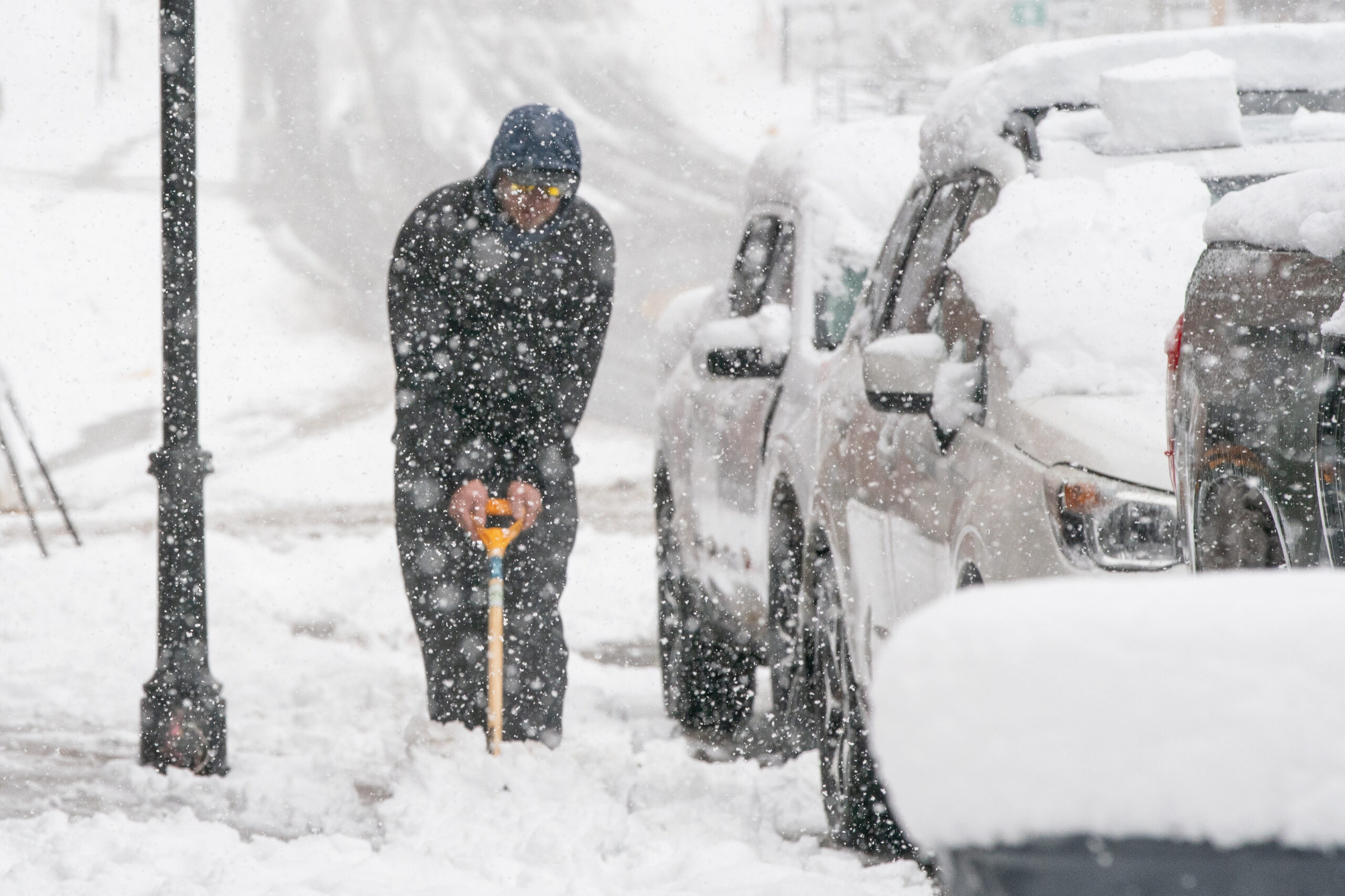
Last weekend’s storm brought heavy snowfall to most of the state, creating poor travel conditions. Several major roads, including I-70, were closed for large periods of time as cars got stuck in the snow. Those traveling this week are encouraged to check road conditions before setting off.