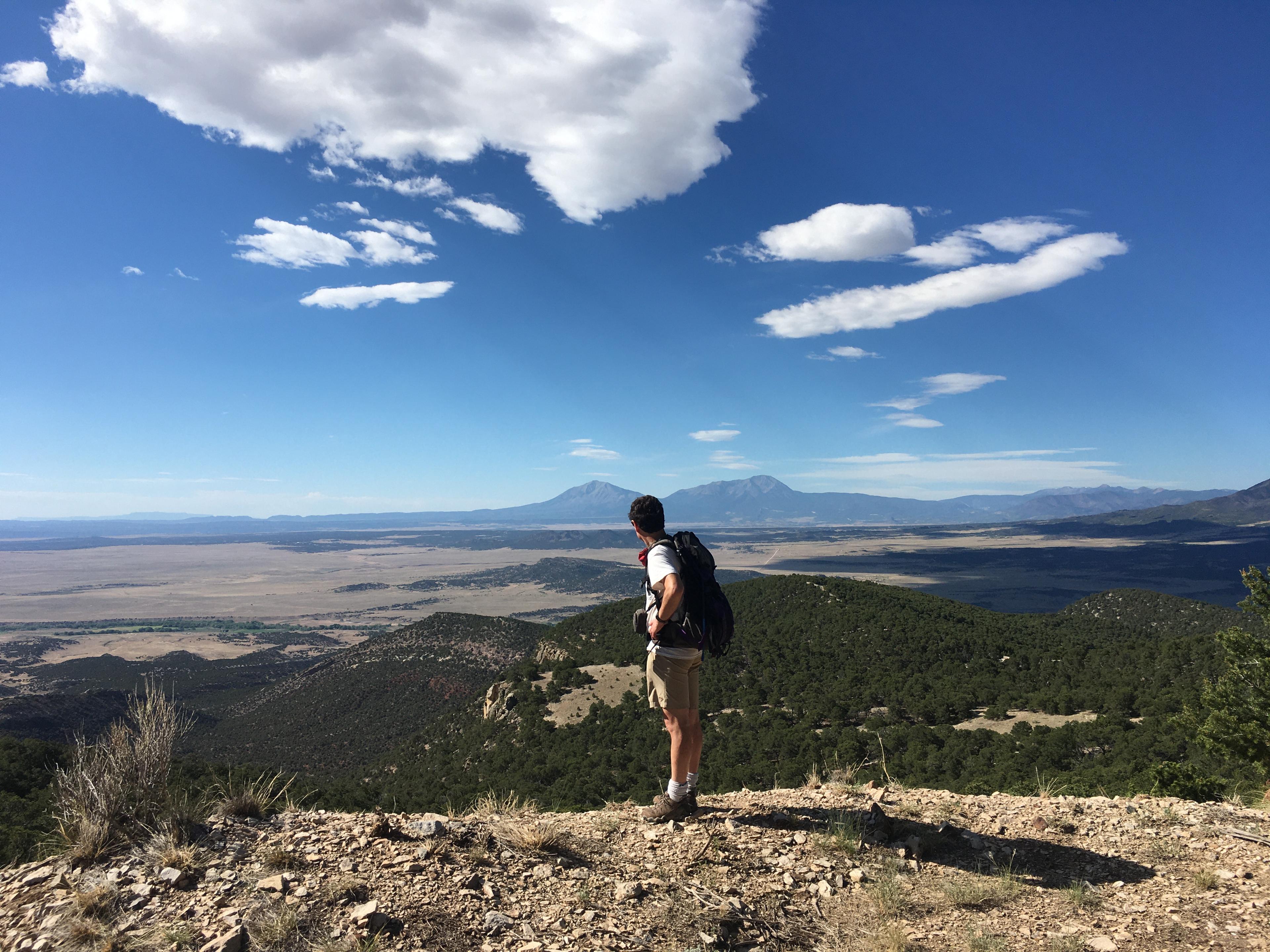
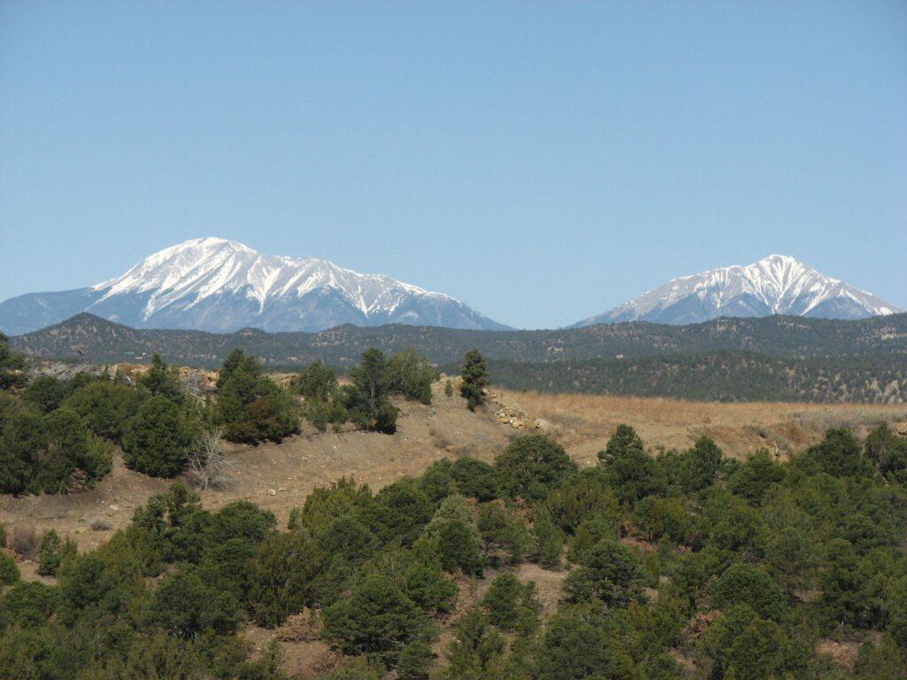
Geographically the two distinctive summits known as the Spanish Peaks on the horizon west of Walsenburg are part of the Rocky Mountains. But geologically, they’re different. They weren’t created by movement of the earth’s crust. Instead, they were formed by volcanic activity deep underground around 24 million years ago.
New insight into the geological history of this pair of mountains, reaching elevations of 13,628 and 12,701 feet, is helping scientists dig into the region's unusual aspects - like why the Eastern Plains of Colorado are so high. The terrain east of the Rocky Mountains is more elevated than similar landscapes around the world where plains butt up against mountains, like near the Himalayas in Asia and the Alps in Europe.
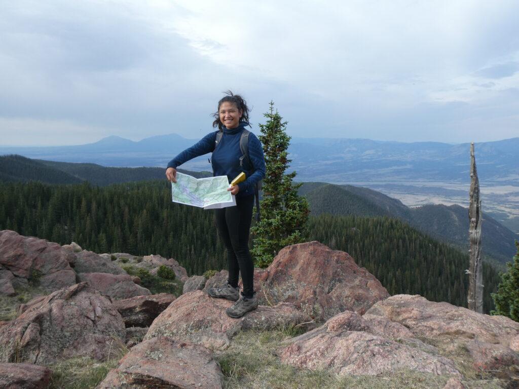
A recent study from researchers at the University of Colorado Boulder published in the journal “Lithosphere” looked at how erosion millions of years ago uncovered the Spanish Peaks. Researcher and former CU student Sabrina Kainz said the peaks were exposed as the softer sedimentary rock around them eroded away.
“But what's kind of crazy about our study is that you're actually seeing that this (was) happening much faster than I think most people would've imagined,” Kainz said. “For an area inland right next to the Rockies where there's no current plate tectonics happening, it's very fast erosion. Almost a kilometer of material (was) eroded within 1 million years, which is pretty fast.”
Badito Cone north of Walsenburg, Two Buttes south of Lamar and other terrain features in the region have a similar history and were created by the same forces and during the same time period as the Spanish Peaks, according to Kainz.
“Two Buttes is a really interesting aspect,” University of Colorado Boulder geologist Lon Abbott said. “Because some people wouldn't be that surprised that you're getting a lot of erosion at the Spanish Peaks because it's really close to the Rockies. But Two Buttes is very, very far out into the plains. And so I think it’s an important discovery that Sabrina made that that erosion episode was vigorous all the way to the Kansas border far from the Rockies.”
The researchers used a method called thermochronology to assess the rock samples they’d gathered from around southeastern Colorado. This allowed them to determine the temperatures the minerals were subjected to during and after creation. That helps generate a timeline of geological history.
Abbott said it's one of the first studies to use thermochronology on the High Plains.
“The High Plains are sort of an odd place where the layers (of the earth) are flat,” he said. “They haven't been contorted, and yet it's really quite high. Denver prides itself on being the Mile High City, and yet it's not in the mountains and you get even higher when you get to places like Walsenburg, so that's a fundamentally puzzling place. And the Wet Mountains (west of Pueblo) are a really dramatic abrupt rise of the Rocky Mountains proper from the Great Plains. So we were trying to get a sense of that interface (between the mountains and the plains) and why it's high.”
They have samples ranging from 19 million years ago and newer. “Pretty young in terms of geologic time,” Kainz said. “It's exciting because it's young in this area, and this is after the big Laramide mountain building event that everyone classically thinks of when you build the Rocky Mountains.”
Their research provides information about when and how much the Great Plains were lowered, said Abbott.
“As high as they are now, they used to be even higher,” Abbott said. “They used to be about the same height as the Sangre de Cristos nearby.” But the erosion that exposed the Spanish Peaks reduced the elevation going east into the plains too.
He hopes to expand the project further north and west.
“This is one piece of the puzzle,” Abbott said. “Ultimately what we would like to know is why are the Colorado High Plains so high? And part of the answer to that is figuring out when they got high because then we can link the when to what other geologic processes were happening at that time.”
- We squished Colorado down to a one-inch thick fudge brownie. Its new surface area will blow your mind
- Skiers and boarders can catch a ride or hike uphill at Cuchara Mountain Park in southern Colorado
- Work is now underway to piece together the story behind surprise archeological find in La Veta
- A ‘Rock Clock’ In Monument Valley Park Tells The Geological History Of Our Region. Here’s How You Can Find It
- Many people on the Front Range depend on water from the Denver Basin. But the underground supply isn't infinite
- What to know about Colorado’s hot springs and where to find them