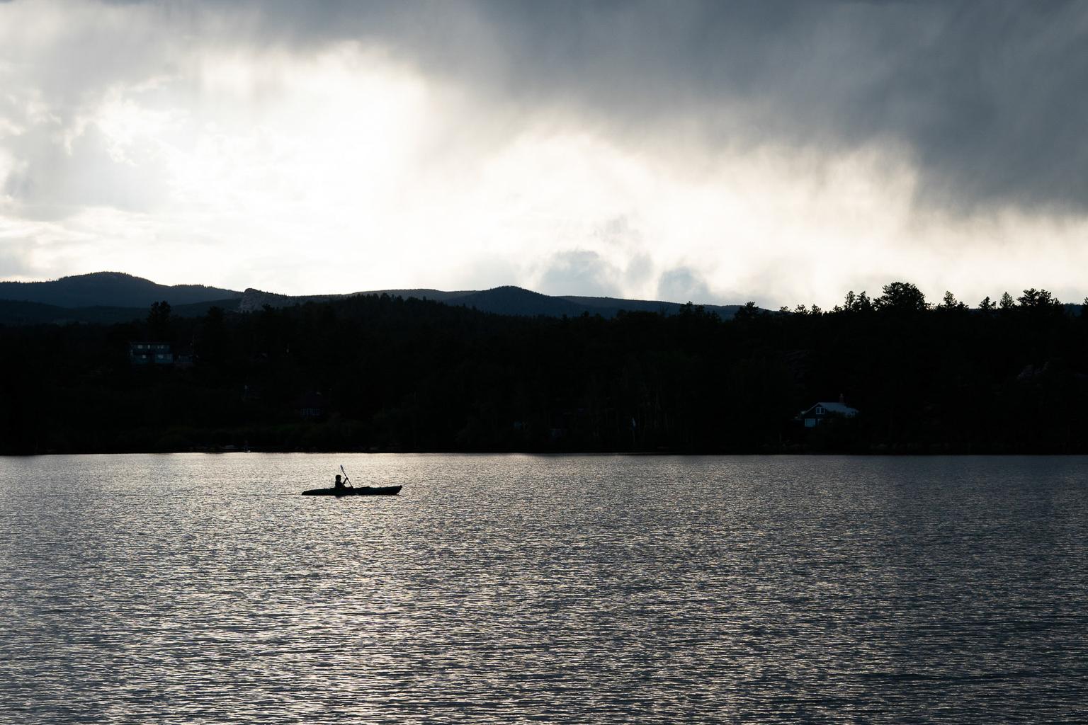
High snowpack levels across the state are expected to considerably increase the flow in Colorado’s streams and reservoirs this summer.
Karl Wetlaufer is a hydrologist with the Natural Resources Conservation Service. He says the state is set up well from a water supply standpoint and that reservoir storage has already started to increase in some of the basins that needed it the most.
“Across much of southwest Colorado, reservoir storage was very depleted after last year. With some increased stream flows already this early in the season, we're starting to see those fill back up again which is really great,” he says.
Recent data shows snowpack in the Arkansas River basin at 138 percent of the median. The San Miguel basin in the southwest corner of the state is measuring at 185 percent and the Upper Rio Grande is at 151 percent.
"It really couldn't be more of a turnaround," Welaufer says comparing this year's level to those of last year. "Particularly in the southern part of the state. Last year that was by far the driest and so far— this year it's been by far the wettest part of Colorado.”
As it melts, the runoff is expected to increase flows in streams and reservoirs, as well as increase the amount of moisture in the soil which is helpful for wildfire prevention and the agricultural sector.