
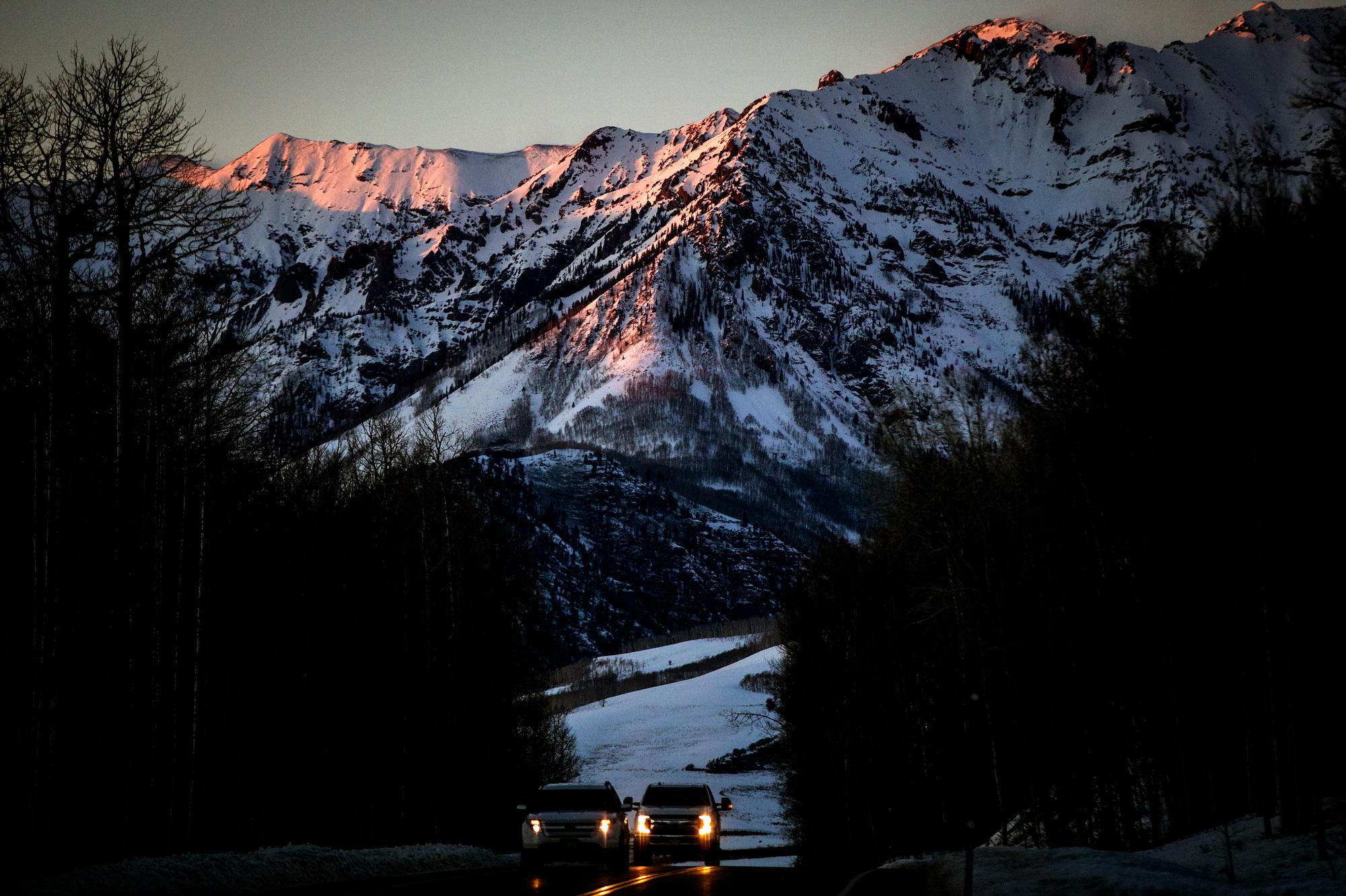
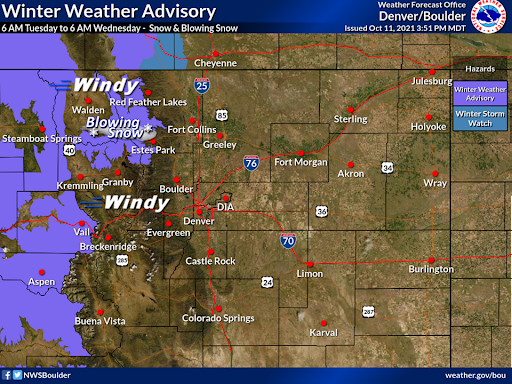
Many mountain communities from Steamboat Springs to Aspen could see several inches of snowfall late Tuesday into Wednesday. The National Weather Service says snow will be heaviest in the mountains north of the Interstate 70 corridor.
Forecasts range from 2 to up to 9 inches in some high-elevation areas. Wind gusts up to 60 mph over high mountain passes are expected, which could make conditions especially dangerous for taller vehicles.
Some Western Slope communities, including Telluride and Montrose, were already starting to see snowfall Tuesday morning.
The NWS in Pueblo warned Southern Colorado residents east of the system to prepare for strong winds and high risk of fire.
Front Range communities likely won’t see any snowfall until later in the week, when a second winter storm system is forecast to move through the state, said Cailtin Mensch, a meteorologist with the NWS in Boulder.
“The best chance that we could get a couple flakes in the [Denver] Metro area is in the early morning hours on Friday,” Mensch said. “There’s still a little bit of uncertainty with that, so we’re continuing to monitor that.”
The Colorado Department of Transportation is warning drivers to plan ahead for both storms and prepare for icy road conditions. Drivers without four wheel or all wheel drive are required by state law to have tire chains or use all weather or winter tires through May 31.
“Motorists are urged to take it slow, leave a safe space behind the vehicle ahead, don’t pass plows and avoid driving during the height of a storm,” the agency said in a statement.
The Front Range typically sees its first snow of the season in mid-October, according to NWS records.
An early winter storm brought several inches of snow to multiple ski resorts this past weekend. Arapahoe Basin, Keystone Resort and Loveland Ski Area have all turned on their snowmaking machines in preparation for opening day.