Updated at 5:05 p.m.
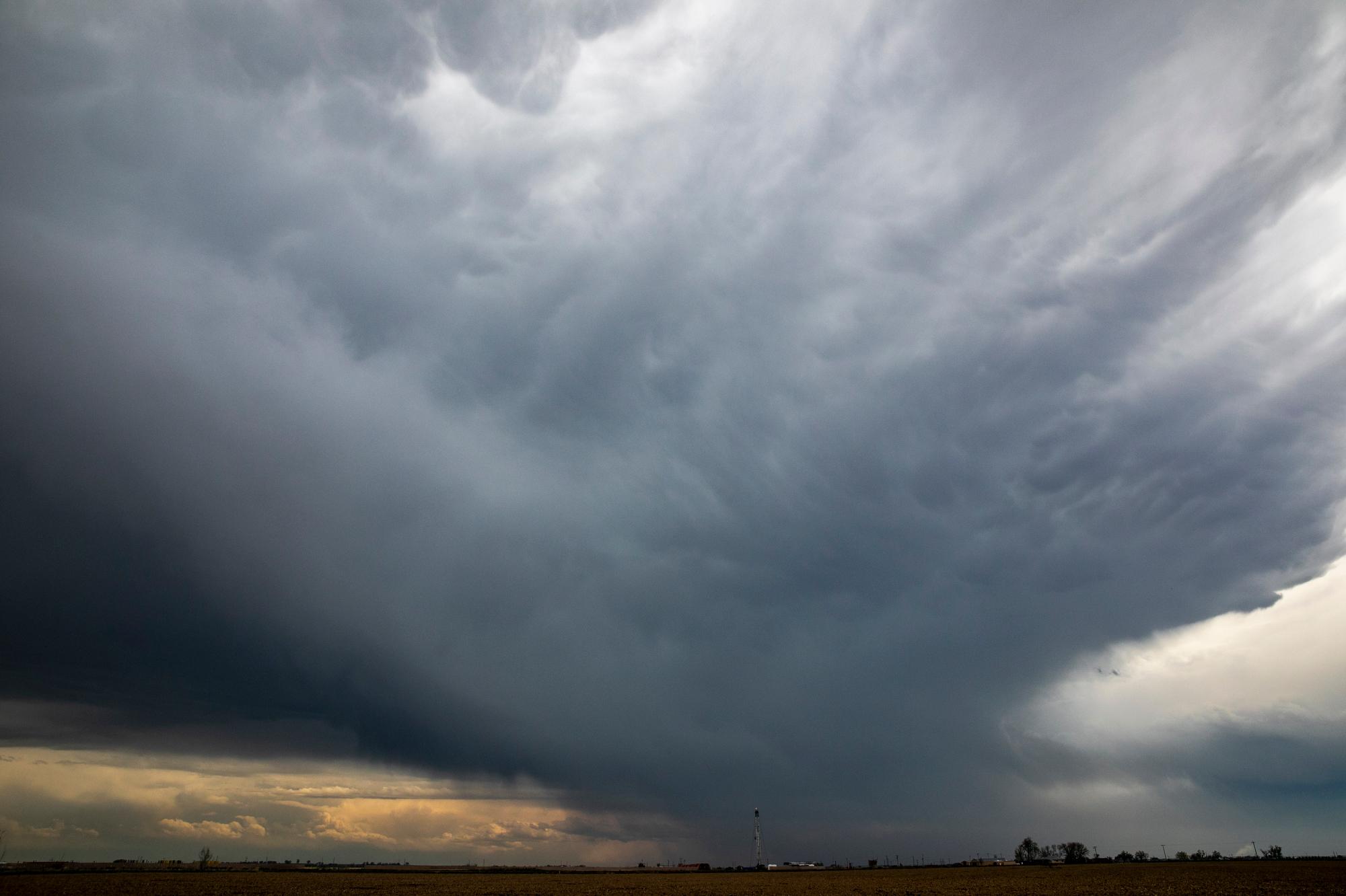
Authorities are warning anyone in or near the Calwood burn area in Boulder County to get to higher ground due to the potential of flash flooding as heavy rains continue to fall. The National Weather Service has updated flash flood warning to considerable until 6:45 p.m.
You can find up-to-date weather updates for the entire state at the National Weather Service's sites for Grand Junction, Boulder and Pueblo.
The National Weather Service has issued a flash flood watch for most of the state until 9 p.m. Saturday. Forecasters also warn that burn scar areas, including Cameron Peak, are on elevated threat of flooding as heavy rains are expected to roll across the state.
The following counties are under flash flood watch until Saturday night:
- Park
- Jefferson
- Douglas
- Gilpin
- Clear Creek
- Larimer
- Weld
- Boulder
- Broomfield
- Denver
- Elbert
- Adams
- Arapahoe
Burn scar areas on elevated flood threat
Forecasters are also warning that the Cameron Peak, East Troublesome, Calwood and Williams Fork burn scar areas are likely to be impacted as rain begins to fall.
These areas can flood with less than an inch of rain falling in 15 minutes. Due to loss of vegetation after wildfires, there's little to soak up the falling rain and both flooding and mudslides can occur.
Interstate 70 through Glenwood Canyon closed all weekend
I-70 has been opened and closed numerous times in the past week due to flooding and the threat of flooding. The Colorado Department of Transportation anticipates that the road will remain closed through the weekend after mudslides shut the road down Thursday night, trapping more than 100 people on the road overnight.