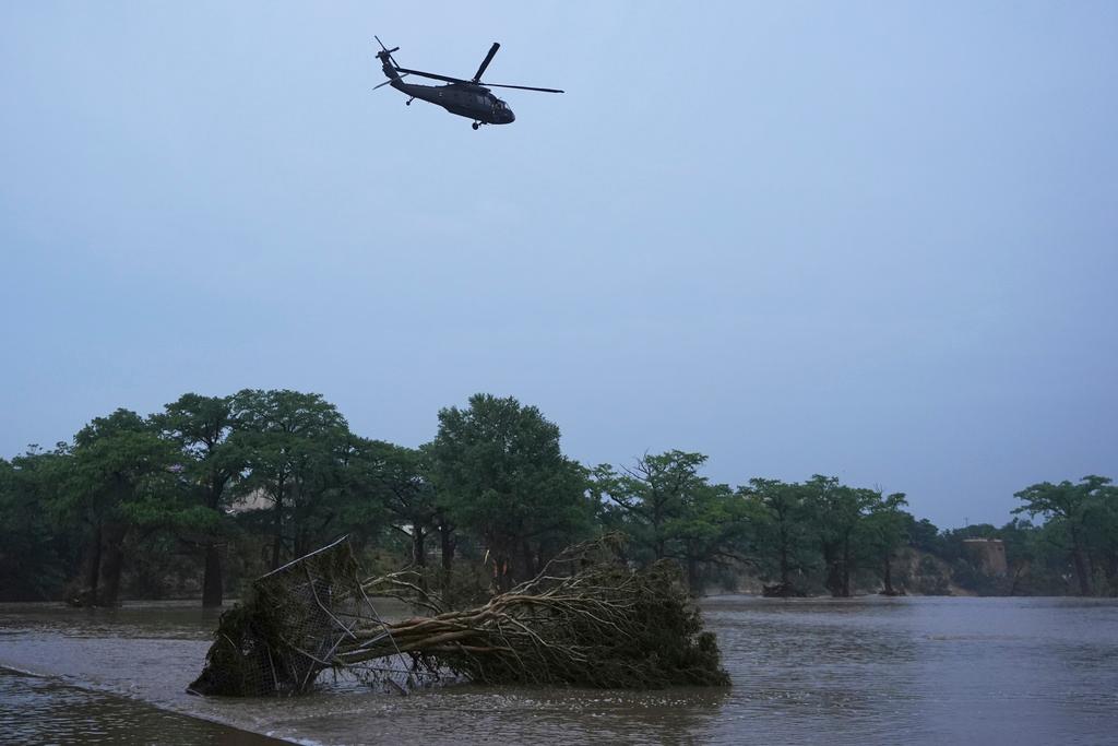
Editor's Note: Interstate 70 through Glenwood Canyon closed twice in June due to mudslides from the Grizzly Creek Fire burn scar. Mudslides along a two-mile stretch of the canyon also forced I-70 to close on the busy Fourth of July weekend. On July 21, there was a fatal flash flood in the upper part of Poudre Canyon, near the Cameron Peak Fire burn scar.
Wildfires burned hundreds of thousands of acres in Colorado in 2020 as the state saw its top three largest wildfires on record.
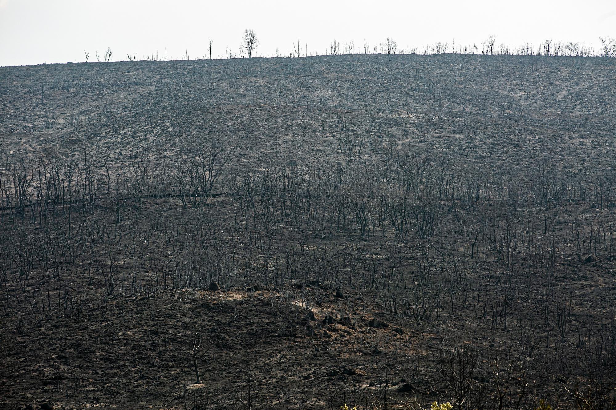
The burn scars around places like Glenwood Canyon, Estes Park and Grand Lake are now dangerous in a different way: Areas downhill and downstream from these burned regions are now highly susceptible to flash flooding.
“A third of an inch of rain in 15 minutes is all it’s going to take to start the low-end part of that flooding,” said Greg Hanson, a meteorologist with the National Weather Service in Boulder.
The Boulder office has already issued multiple flood advisories for burn areas. The Colorado Climate Center warned in a tweet that the threat of flash flooding in burn scars will be a recurring issue.
Hanson hopes there won’t be many flash flood warnings this summer, but he believes it’s inevitable.
“These burn areas are so big and we have so many of them, it’s going to happen,” he said.
Why are wildfire burn areas at a higher risk of flooding?
After a wildfire moves through an area, it burns up most of the plants and material that would absorb a lot of that rain, like the tree canopy and the leaves on the ground. Burned vegetation also coats soil with a wax substance that can cause soil to become hydrophobic, meaning it will repel water instead of absorbing it.
“Think of rain falling on an asphalt parking lot, it's running off instantly. That's what these hydrophobic soils do,” Hanson said.
The first two years after a fire is when the worry is highest, Hanson said. But the flash flood risk often remains for much longer.
“We’re watching some older burn areas that are over five, seven, eight years old,” Hanson said. As the vegetation starts to grow back, it takes more rain to cause flooding.
What if I plan to hike or camp close to a burn area?
Hanson said you should check the weather forecast before you go and keep an eye on any rain. Depending on where you’re hiking or camping, some National Weather Service offices have created a graphic for you to better know the current flash flood threat level.
You should also know where any nearby water is coming from and be aware of the weather upstream from your location, Hanson said.
“It may be raining further upstream and you’re not in that rainfall footprint,” Hanson said.
If you notice a stream suddenly turning from clear to muddy or ashy water, Hanson said you should take that as an environmental cue to “get out of there, and to move uphill.”
Hanson also suggested that people who live, play or work in any areas close to burn scars should sign up for the local county’s alert system to receive notices of flash flood warnings in the area.
What should I do if I’m in a burn area that’s starting to flood?
Hanson said that if your home is in one of these areas, there’s often not enough time to evacuate because of how quickly the flash flooding happens.
“Part of the plan needs to be climbing to safety. Where am I going to go? That sort of thing,” he said.
Most flood deaths are the result from people being trapped in vehicles after driving into water, Hanson said.
“The No. 1 thing is, do not drive through flooded roadways,” he said. “Even if the water doesn’t look very deep over a road, a lot of times it obscures things like the pavement is gone or the culverts washed out.”
If you are in your car and the area is flooding, climb to safety.
“You’re better off wet than dead,” Hanson said.
One area to watch out for? Glenwood Canyon
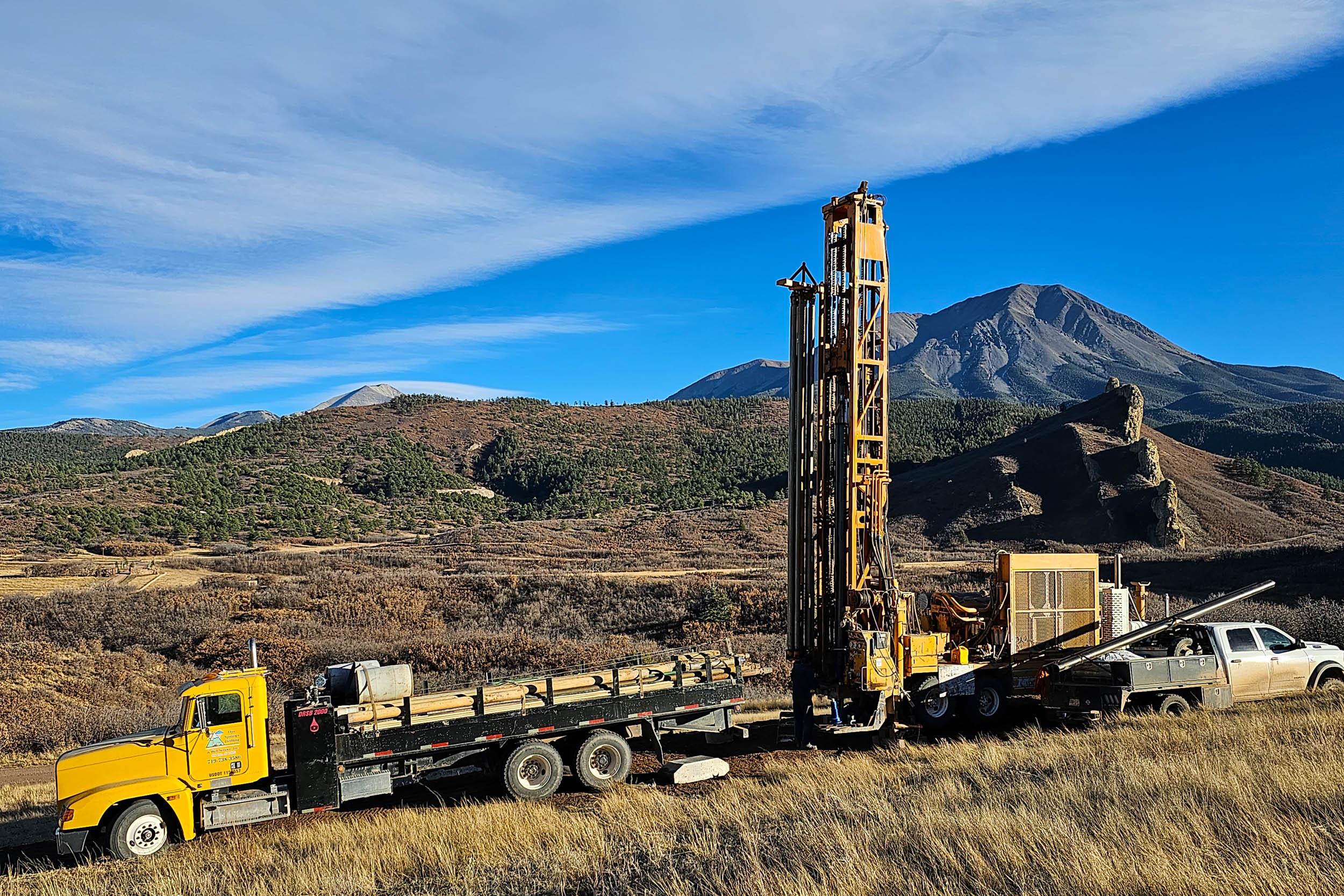
The stretch of Interstate 70 through Glenwood Canyon was closed for more than a week in the aftermath of the 2020 Grizzly Creek fire. The burn scar that remains is vulnerable to a greater chance for flash floods and debris flows that rush down the canyon walls and affect the drivers and people recreating below.
CDOT is prepared for mudslides and rockfall in Glenwood Canyon, which are “very likely” if there is moderate to extreme rainfall, said agency spokesperson Elise Thatcher.
There’s a safety closure protocol in place to evacuate the canyon, Thatcher said. If there’s a certain amount of rain in the 24-hour forecast or a Flash Flood Watch, rest areas and recreation paths will be evacuated and closed.
CDOT will evacuate all traffic from the canyon if there is a Flash Flood Warning and stage crews to be on standby to clear the road of debris and assess the damage before reopening, Thatcher said.
CPR's Nathaniel Minor contributed to this report.